30 June, 2016
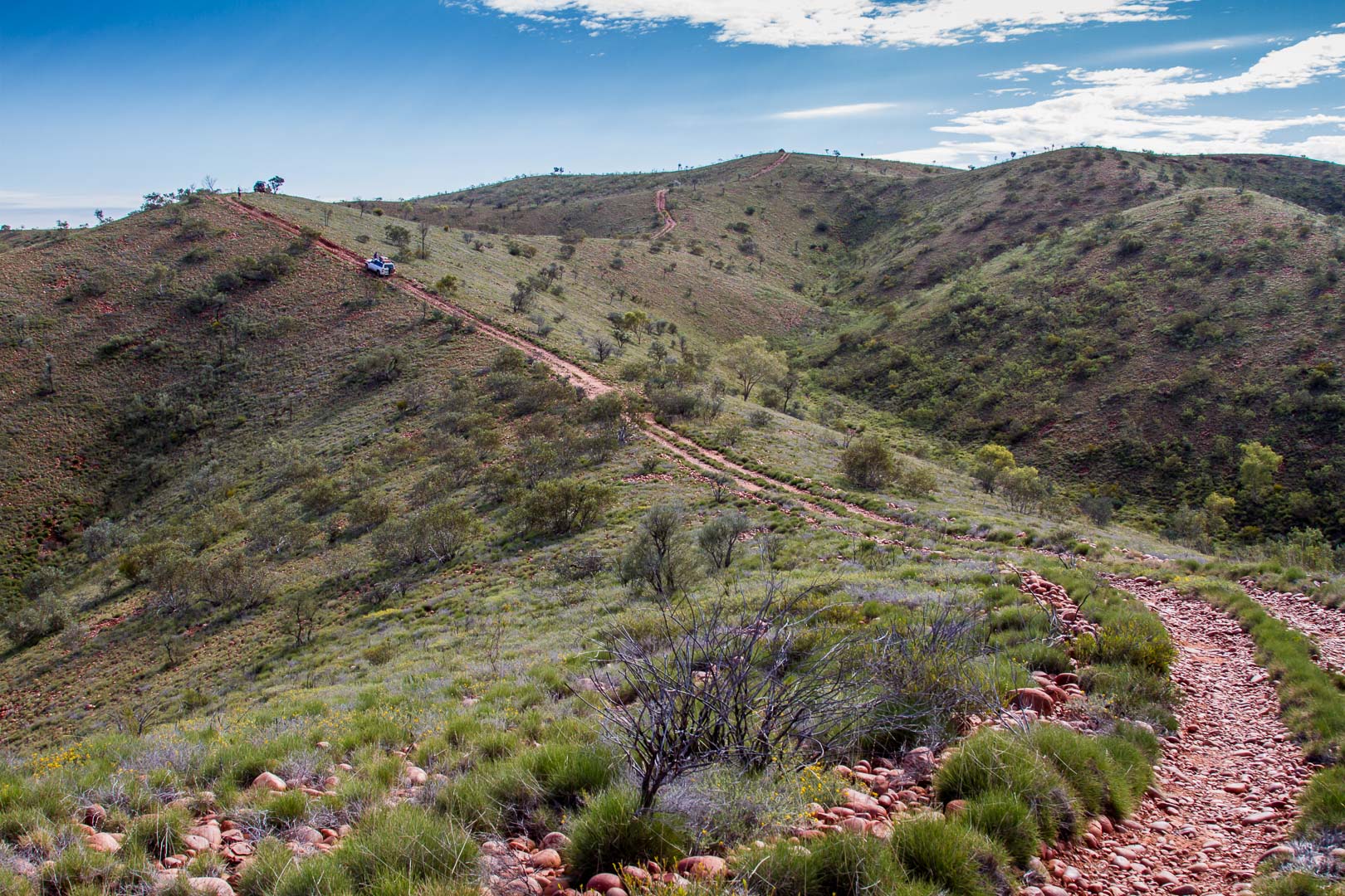
The Western Australian border was just 20 minutes from the camp and we stopped for the regulation photographs of us standing either side of the border, another long distance relationship! The road here continued to be wide and reasonable going though we had many mud patches again to negotiate. Soon after the border, we turned north onto the Sandy Blight which immediately showed itself to be a lesser road being much narrower, then rutted and becoming more corrugated. The ranges here were rocky, red with folded cliffs of darker rock.
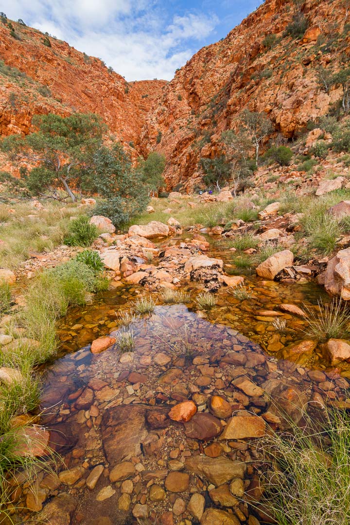
Pangkupiri Waterhole is in the Walter James Range and just a short walk over boulders took us to to the sound of the waterfall bubbling into a large rock pool guarded by a tall ghost gum. Green budgerigars flew in and out of the gums and holly grevillea.
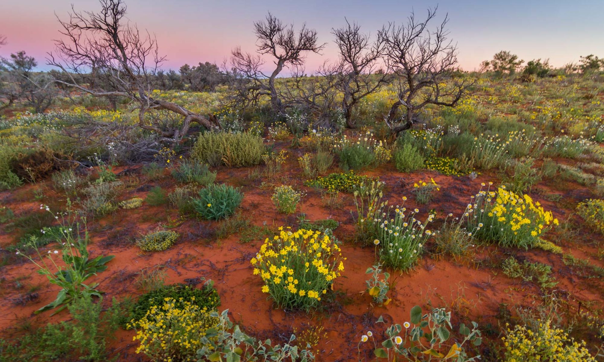
The Sandy Blight Road was stunning. We passed through dune country into open spinefex then desert oak forests with lush green undergrowth with many wildflowers beginning to bloom.
Near the Sir Frederick Ranges it was quite slow going with river beds of stones washed from the mountains. Of course, we detoured for some way up the range over boulders as big as pumpkins.
1 July, 2016
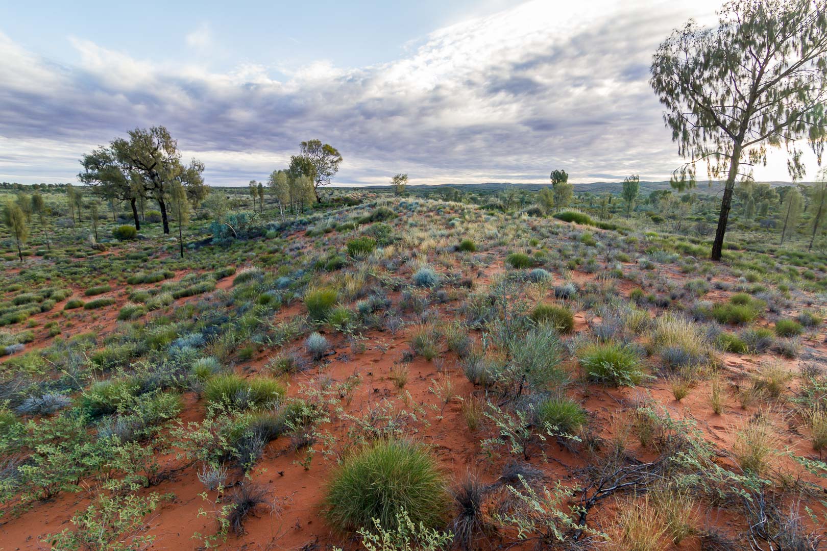
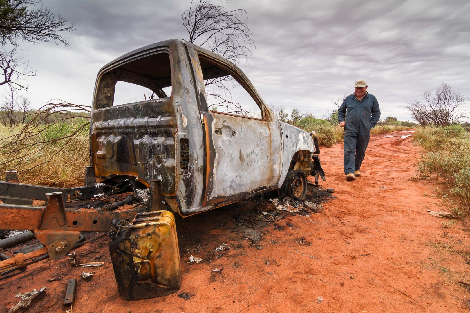
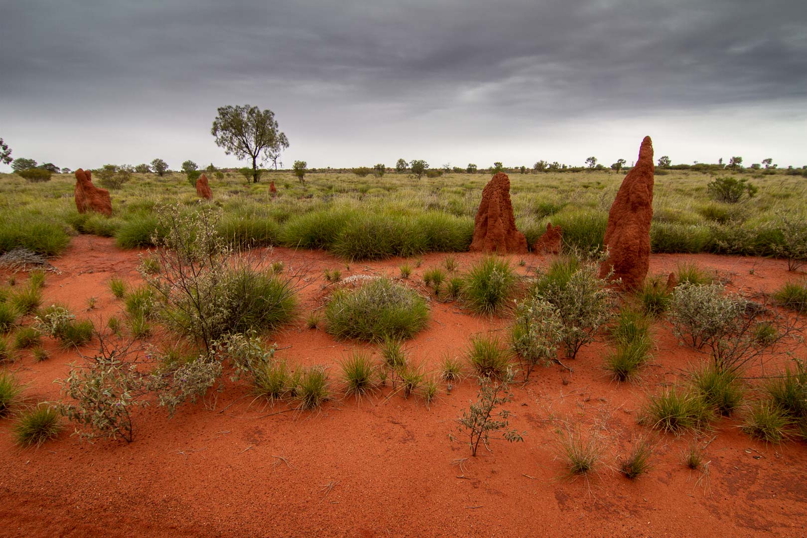
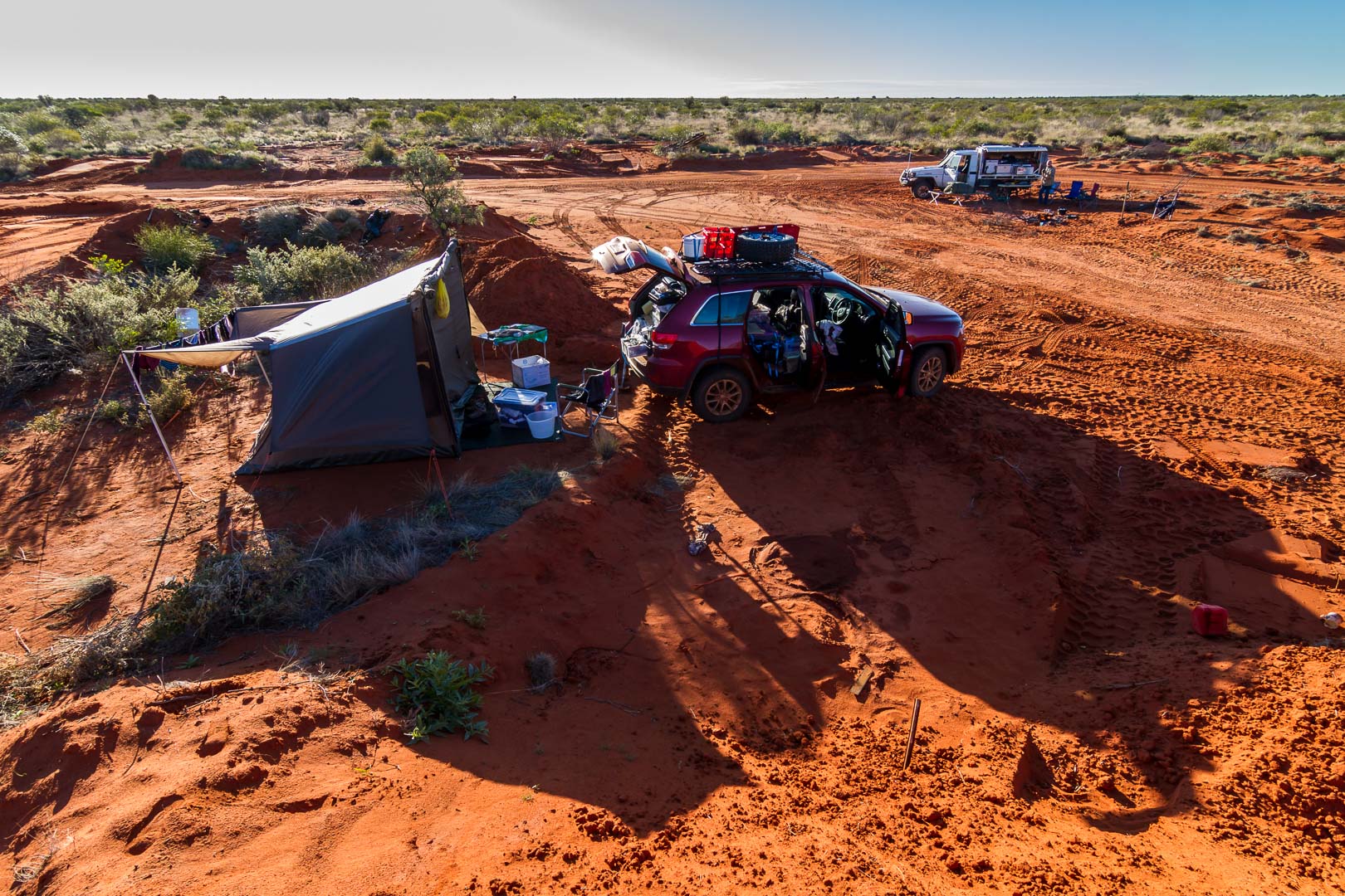
Drizzle through the night kept us awake and by 8:45am it was still cool, just 11℃ and it rose to just 14℃ by 2:00pm. Through the day, we filled a container of salty water for washing at a bore. We don’t see much wildlife through the day but have come across the odd camel whose tracks we occasionally follow on the road. Budgies and other birds fly in and out of the bushes as we pass, but we see little else. The dunes here are a little like the ones we see on Fraser island but for the colour, of course. Several burnt out cars were on the sides of the road.


2 July, 2016
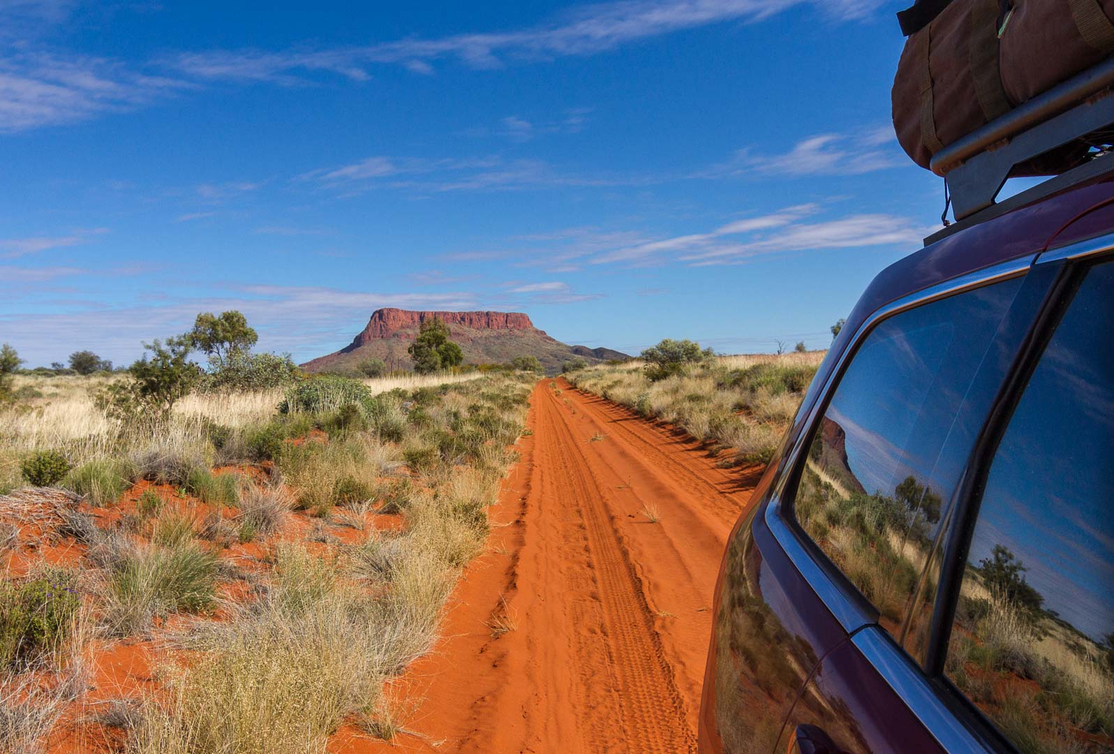
Leaving the camp, we drove along a straight road towards Mt Leisler, a distinctive mountain near Kintore.
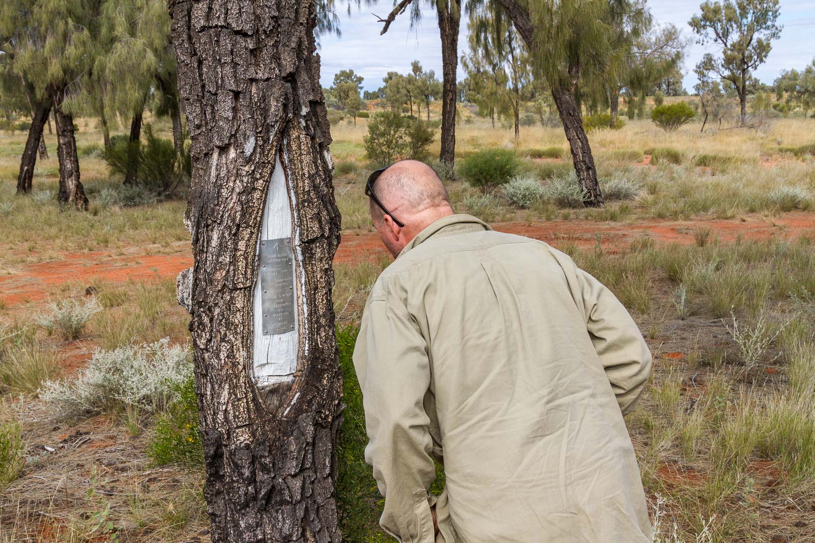
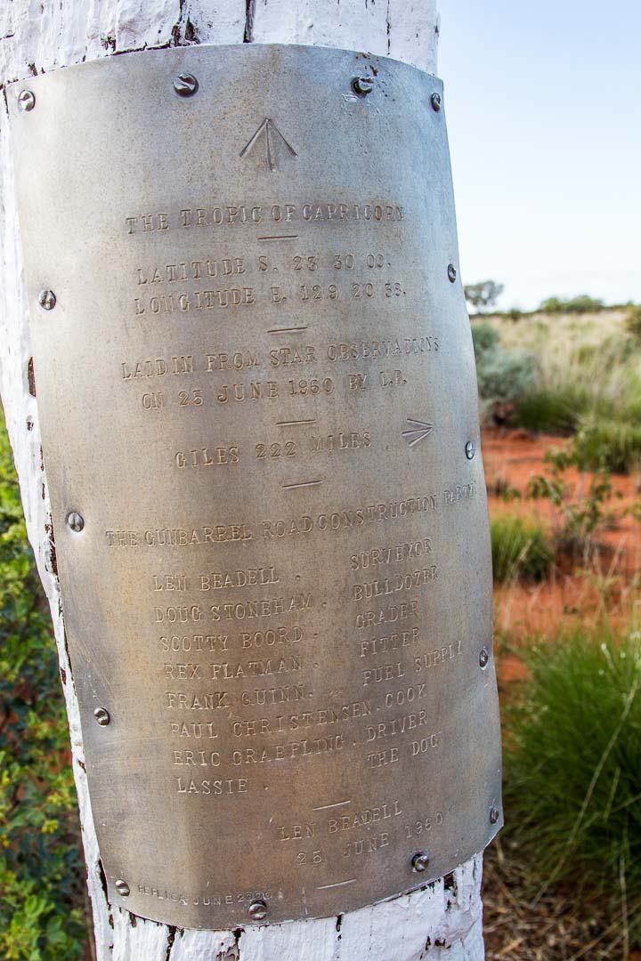
We paused for a cuppa at Tietkin’s tree to mark where he passed but it is now fallen and any markings he made are now mostly gone, for my eyes at least. Later we crossed the Tropic of Capricorn for the third time on this trip.
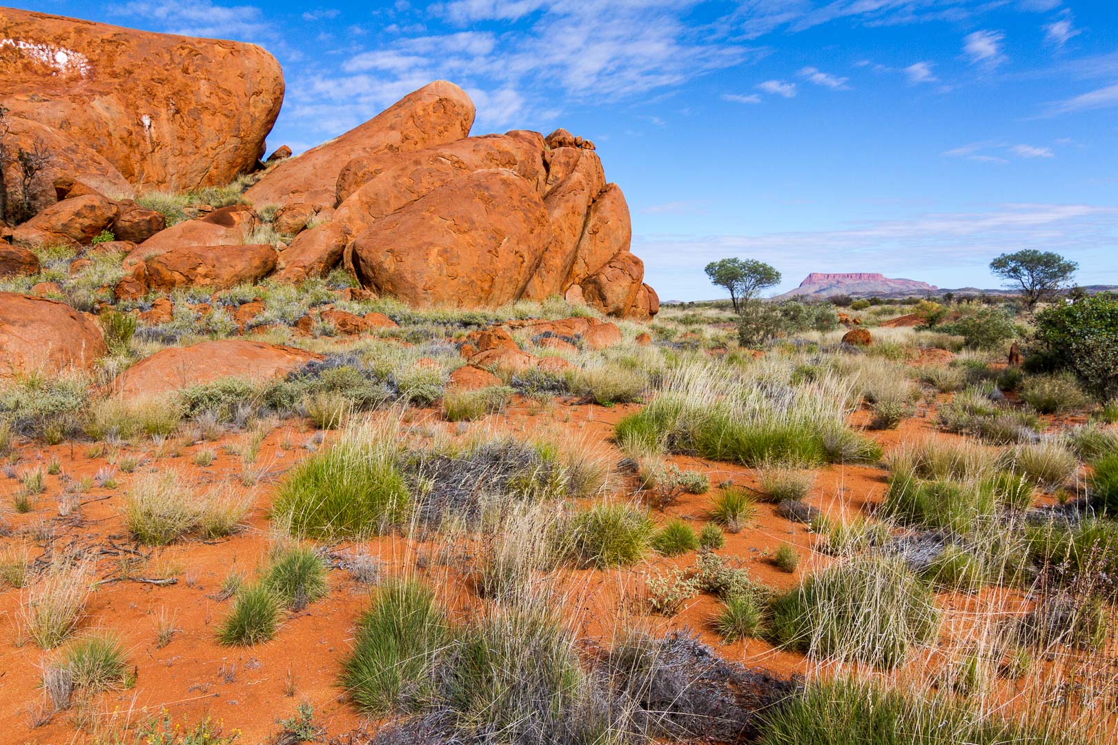
The Kintore Marbles is a miniature version of the Devil’s Marbles and we walked around them taking a photo of Mt Leisler in the distance.
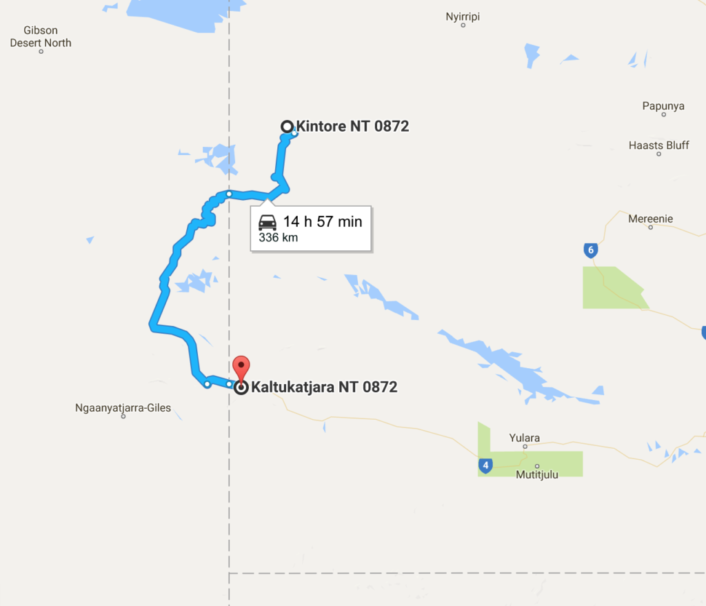
When we reached the crossroads of the Gary Junction Road, this leg of the trip was done, and writing this post at the end of our trip, I’d have to say it was one of the most enjoyable drives of the lot.
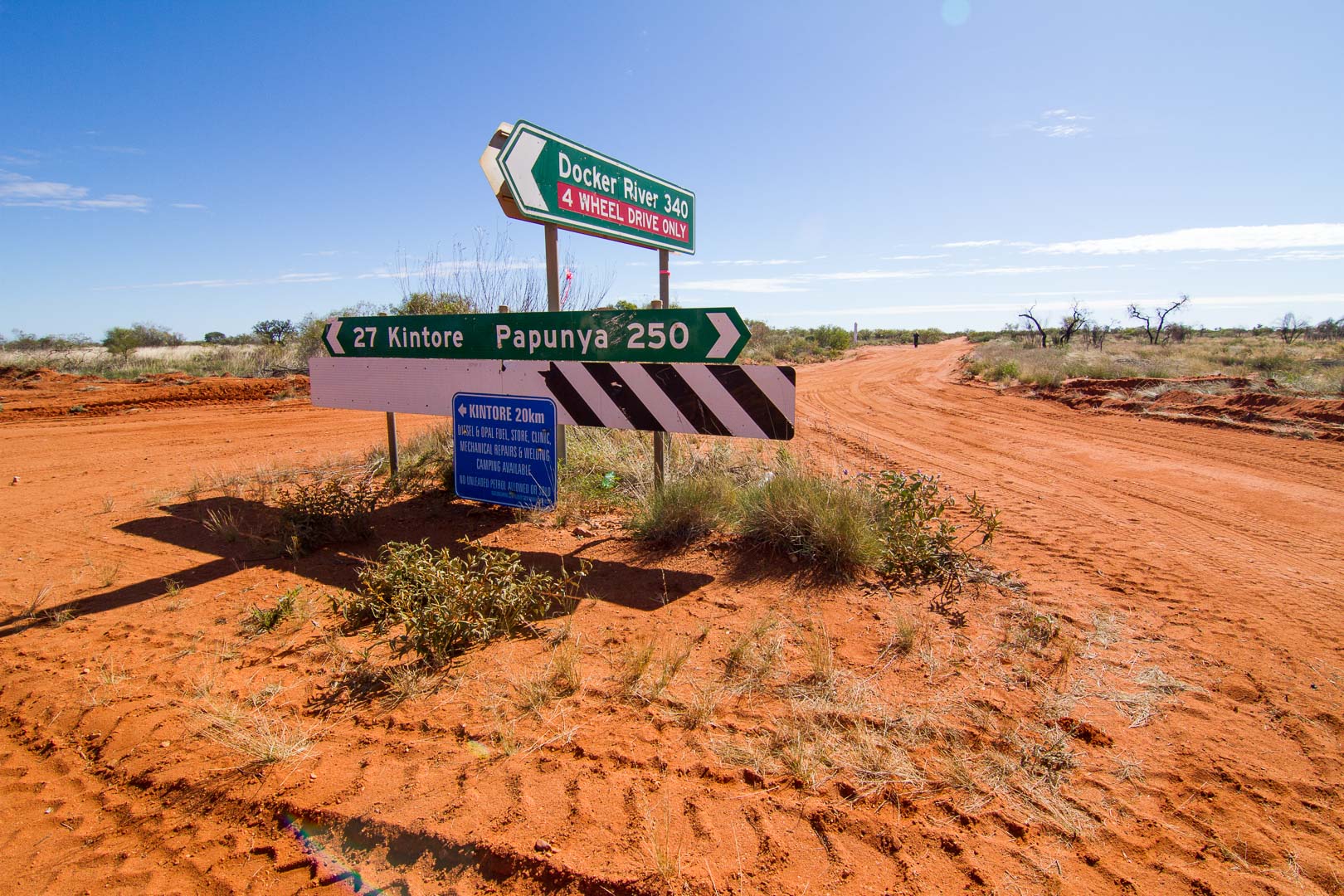
Kintore was next for fuel where we filled for $2.00/L.
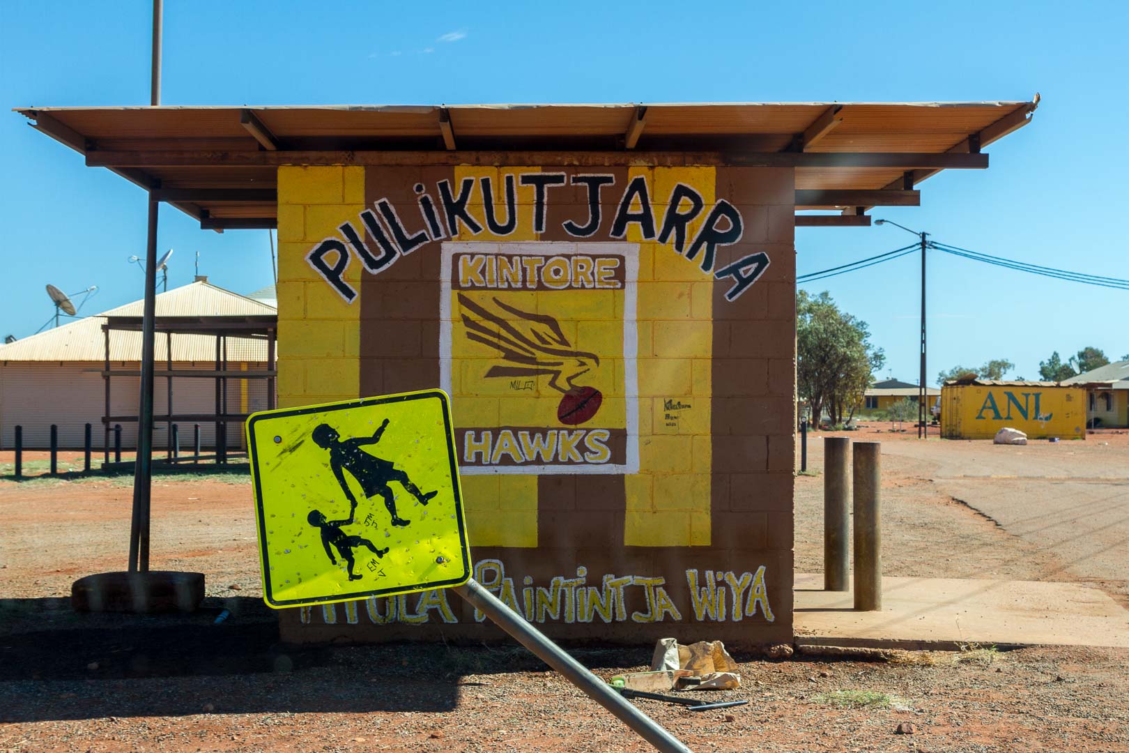
We camped out of town between the intersection and the Kintore turnoff. Brad is a whizz around the campfire. A couple of nights ago he made an apple and sultana pudding with golden syrup and at this camp concocted a banana cake in the camp oven. A legend!
Uluru – Kintore – 790 km
Fuel: 41 L at Yulara ($1.83/L)
27 L at Docker River ($2.20/L)
47 L at Kintore ($2.00 L)