Twelve and a half thousand kilometres from the east coast through the deserts of Central and Western Australia
The weeks preceding this trip kept me awake thinking about our preparation. Questions of fuel, water, tyres, spares, reliability and food in remote areas but at all stages I was reassured by our companions, all experienced outback travellers, that we would have no worries. The only worry, I was told, was the unexpected. Rain.
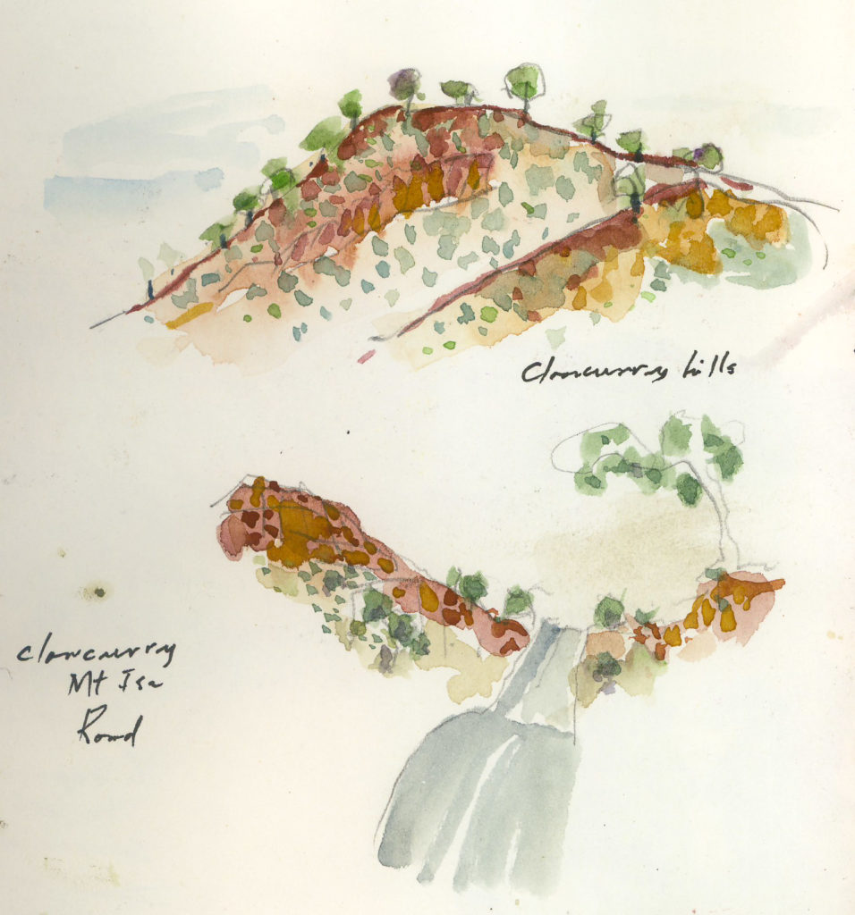
June 2016 and rain had been falling for a few weeks in the red centre, north and west and for some time we wondered whether our adventure into the unknown would go ahead. The direct route via Boulia across the Plenty Highway was ruled out due to mud and flooding and so we drove the 2800km alternative via Mt Isa. Biloela, Emerald, Kynuna, Camooweal, the western towns flashed past with the Emerald to Kynuna leg the longest day of the entire trip at 776 km.
Kynuna is one of those western towns that demand a stop. An iconic pub, a counter meal, campsite and a freezing cold shower in winter, and a stunning sunrise.
Four days on the road saw us at Karlu Karlu, the Devil’s Marbles and we bypassed the overcrowded campground for a lovely spot on the edge of the creek just to the south of the park.


Rainbow Valley, NT
Overnight at Rainbow Valley just to the south of Alice Springs, gave us an indication of the cold nights to expect in the desert as ice covered the tent in the morning.
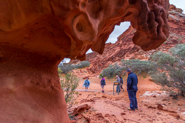
Henbury Meteor Crater
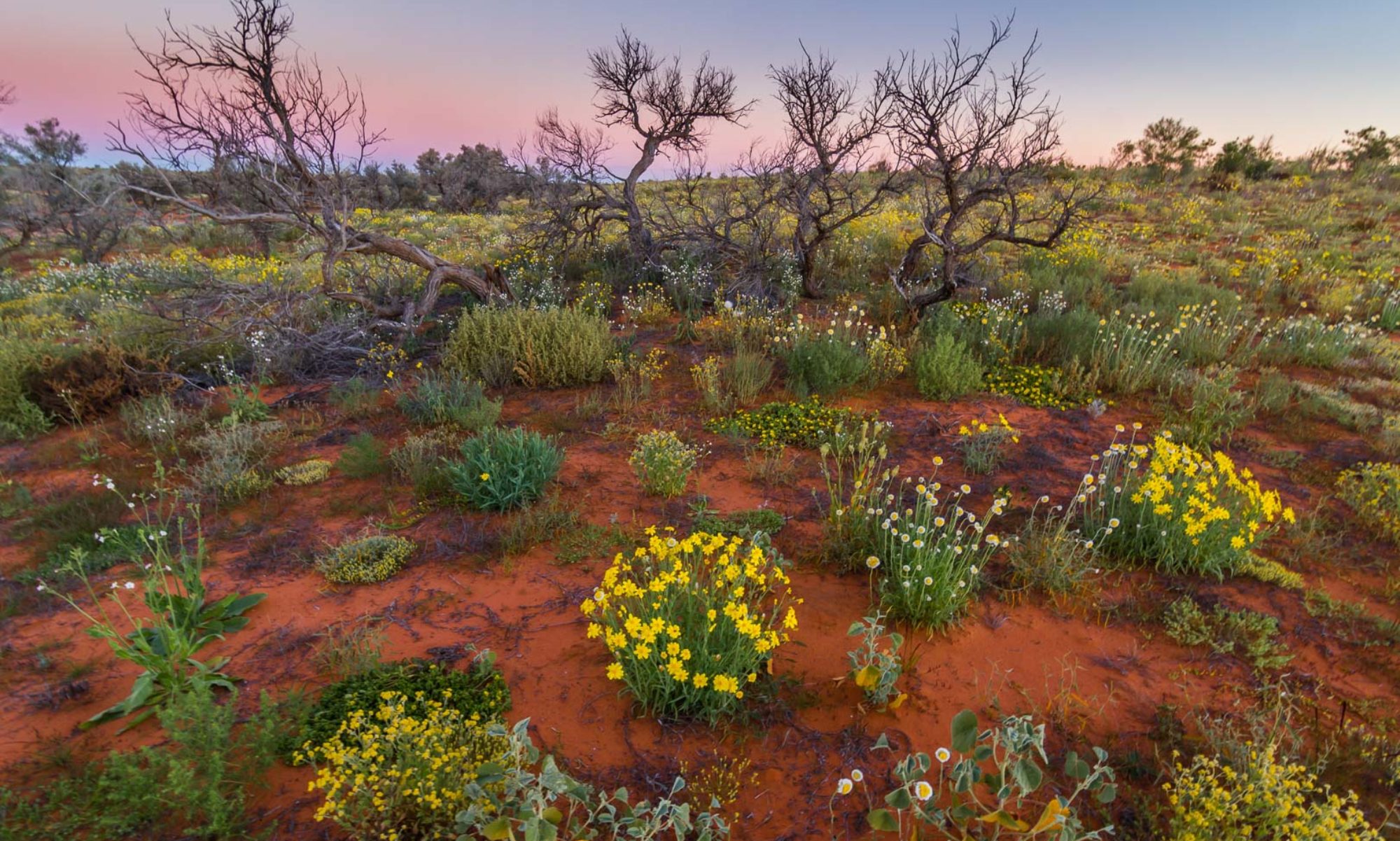
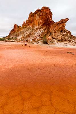
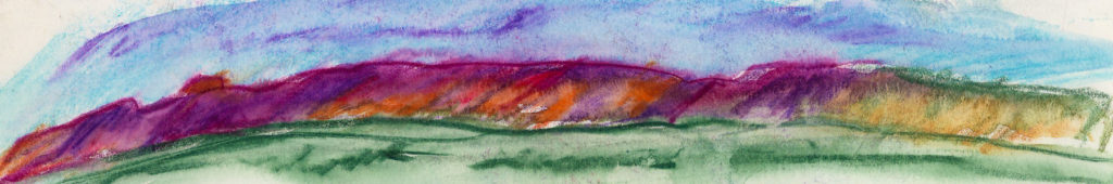
Still driving south of Alice, we turned off the Stuart Highway for the short drive to the 4000 year old Henbury meteor crater formed when a half dozen rocks the size of a 200 L fuel drum left craters 180 metres across. The stony path to the craters was lined with green shoots from rain and the adjacent mountains, craggy and tipped with eroded, orange outcrops , the slopes dotted with saltbush, sage coloured bushes and low trees.
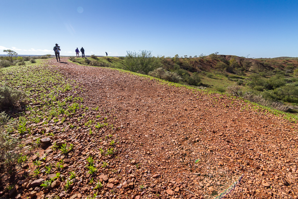 Outcrops and mounds of red and orange rock that had withstood the erosion were stark on the plains bursting with new growth. Puddles and large stretches of water lay in the depressions. Sharon drove again while I doodled in the sketchbook.
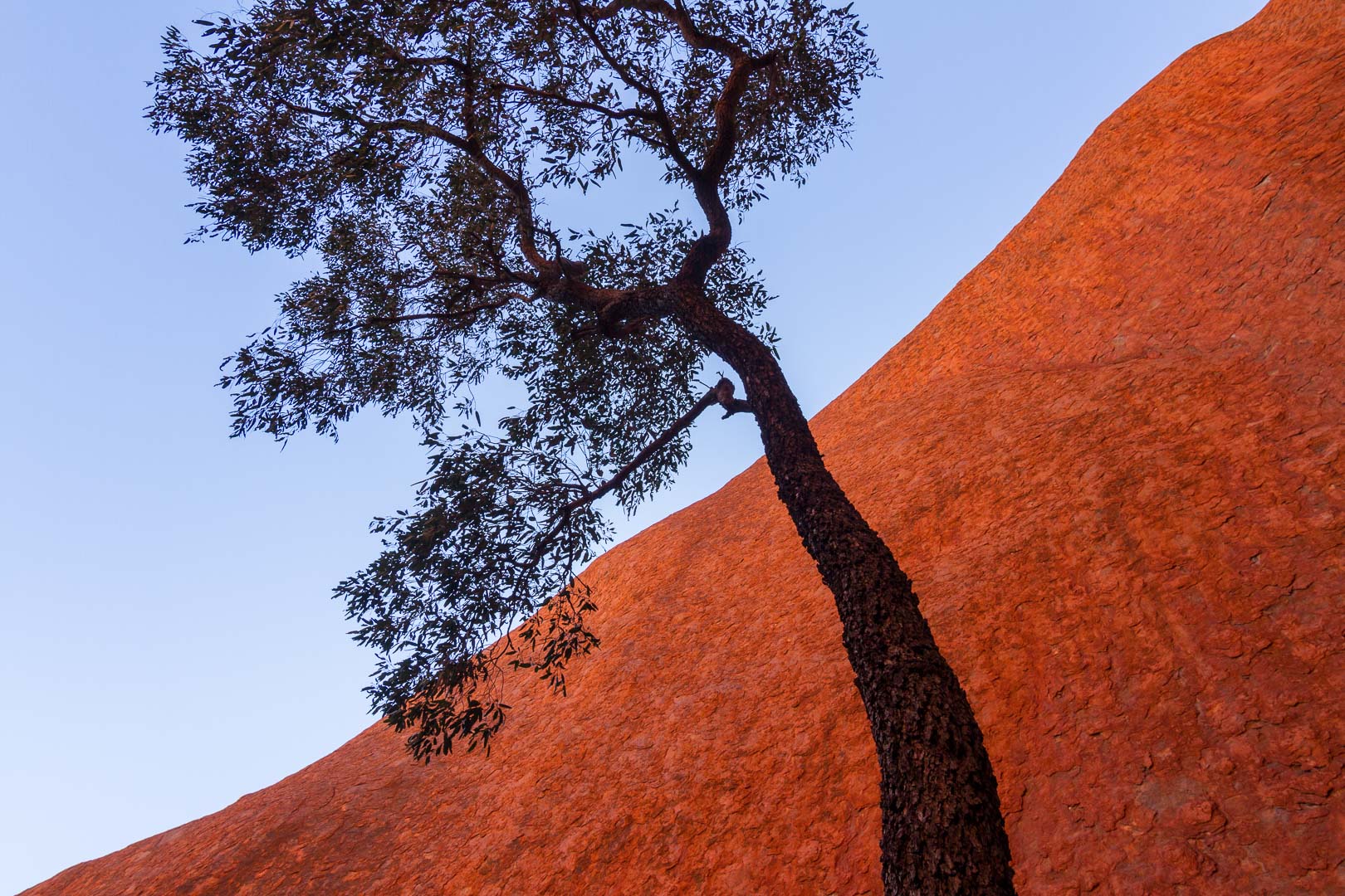
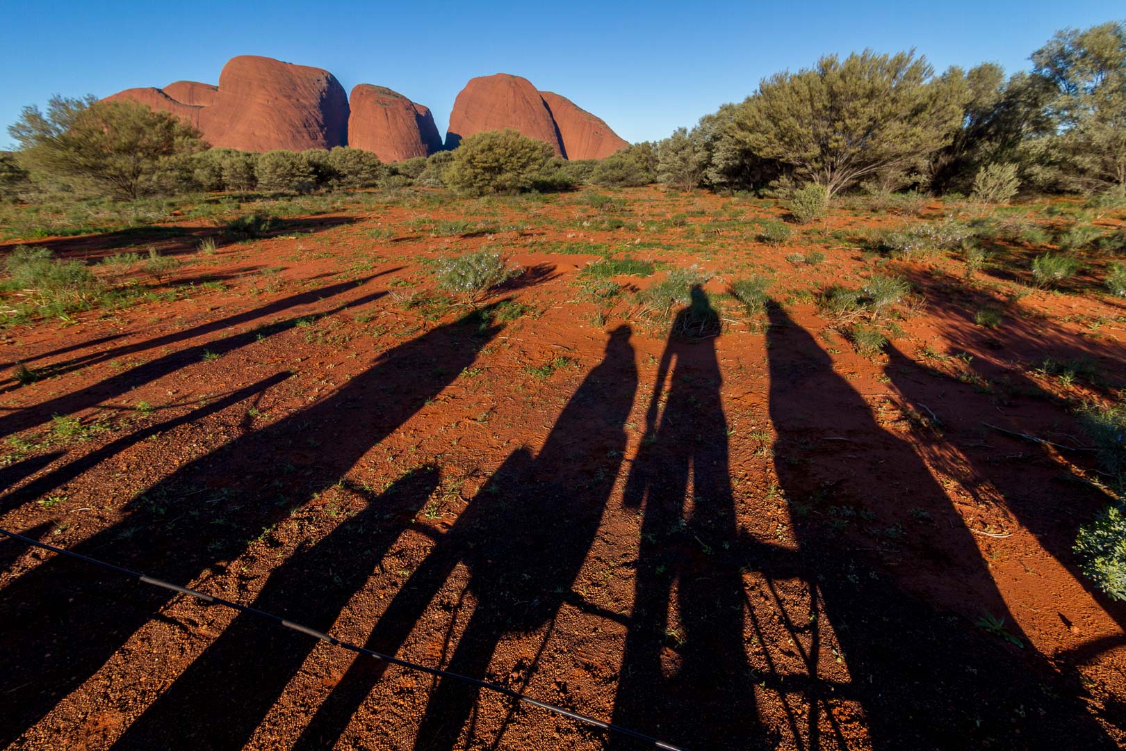
Uluru and Kata Tjuta
The campground was busy with school groups and campers like us but it was good to revisit the Rock after 44 years. It was still the same but many things had changed. Then, we camped next to the rock and had free access to all parts of the site. Now, it is tightly controlled, and I guess rightly so considering the numbers that visit.
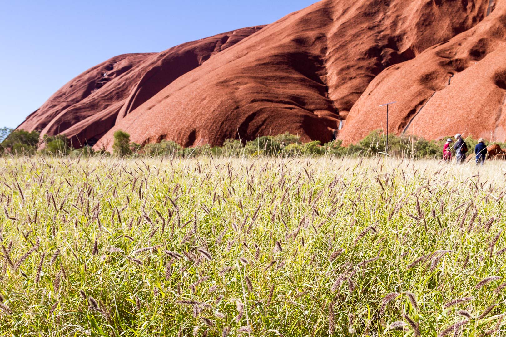
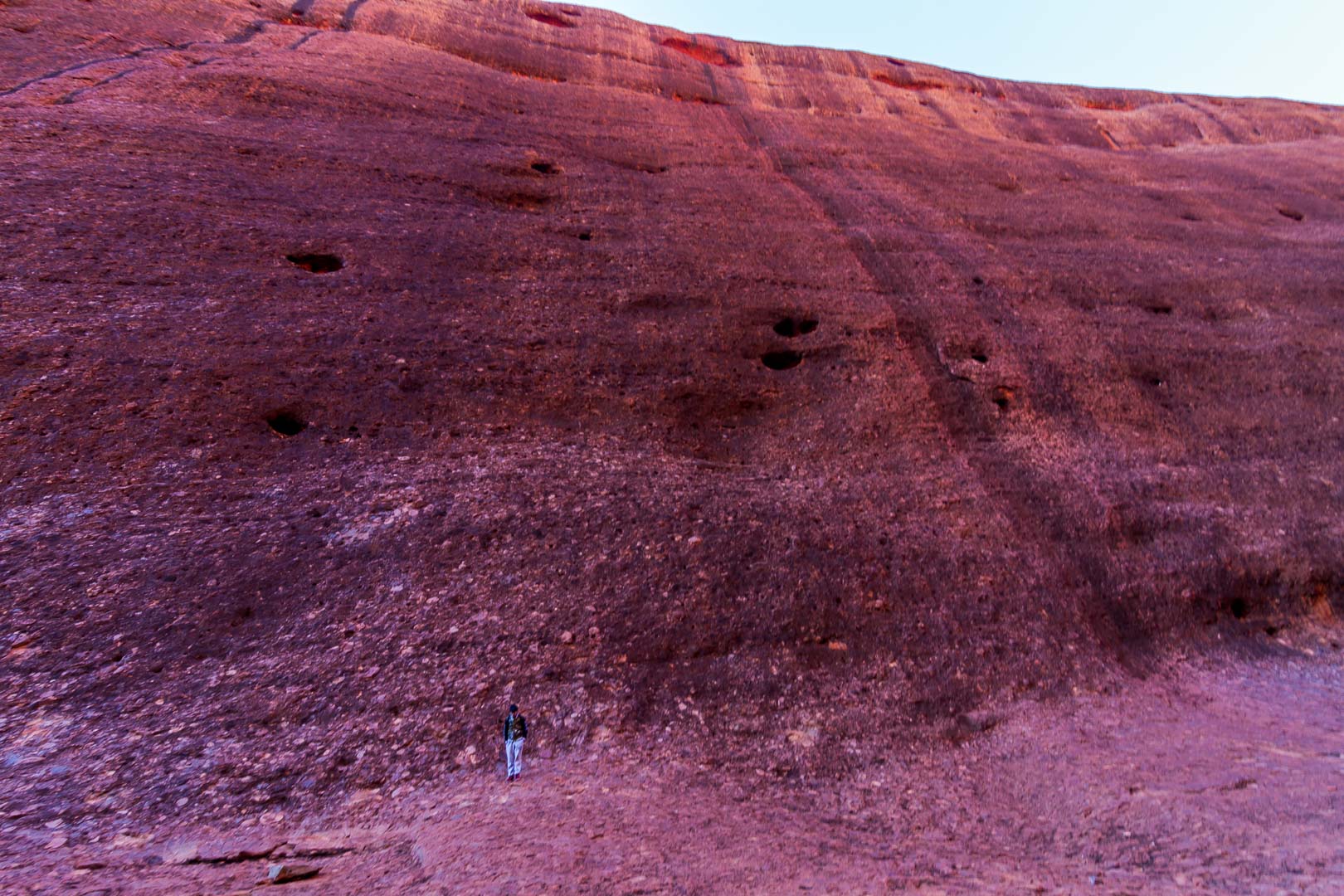
The Rock was magnificent in all its greenery and water. We stepped around puddles on the path and streams trickled down the red slope to clear pools of fat tadpoles.
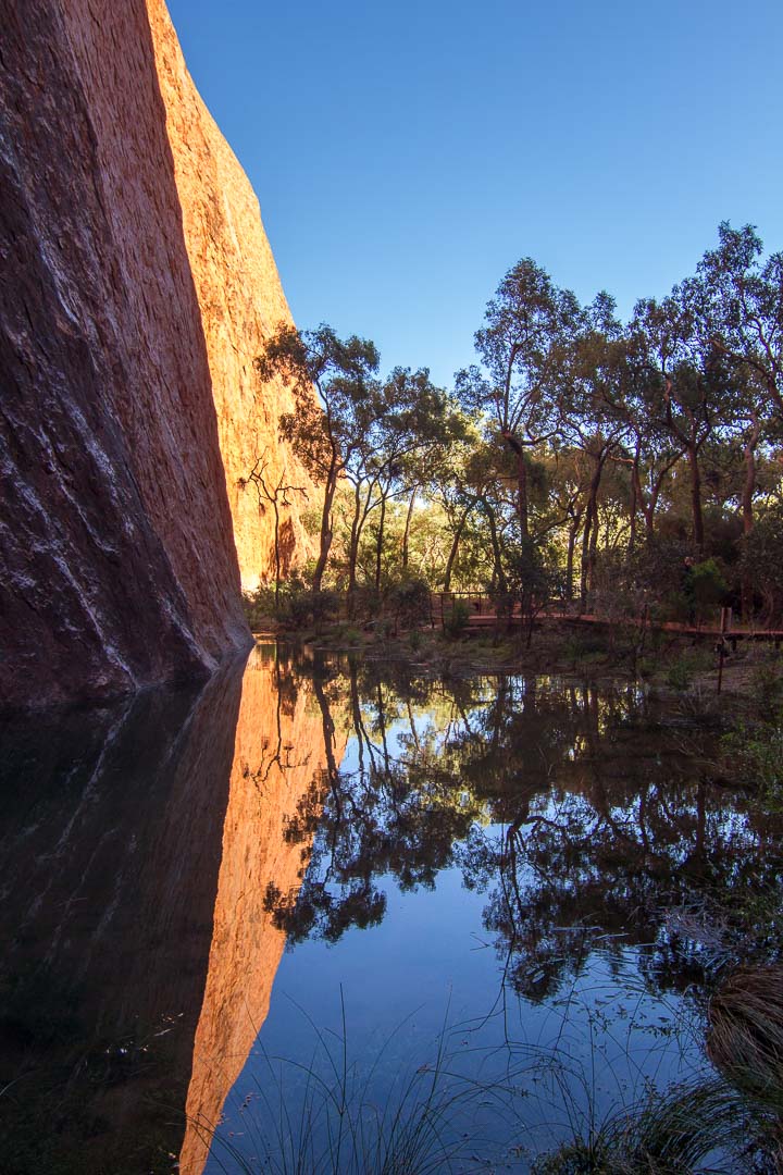
We listened to a guide at this rock pool tell how this water was once an important drinking place but now it is unsafe due to the climbers on the rock using it as a toilet.
In the afternoon at Kata Tjuta, I walked into the gorge beside a stream over the red conglomerate path worn smooth by millions of tourist feet. Today they were school children and Korean visitors.

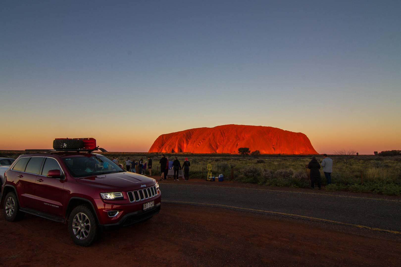
To finish the day, we joined others in the Sunset Carpark. The dimming light made the Jeep appear the cleanest it would be in two months. Mud and dust awaited us.