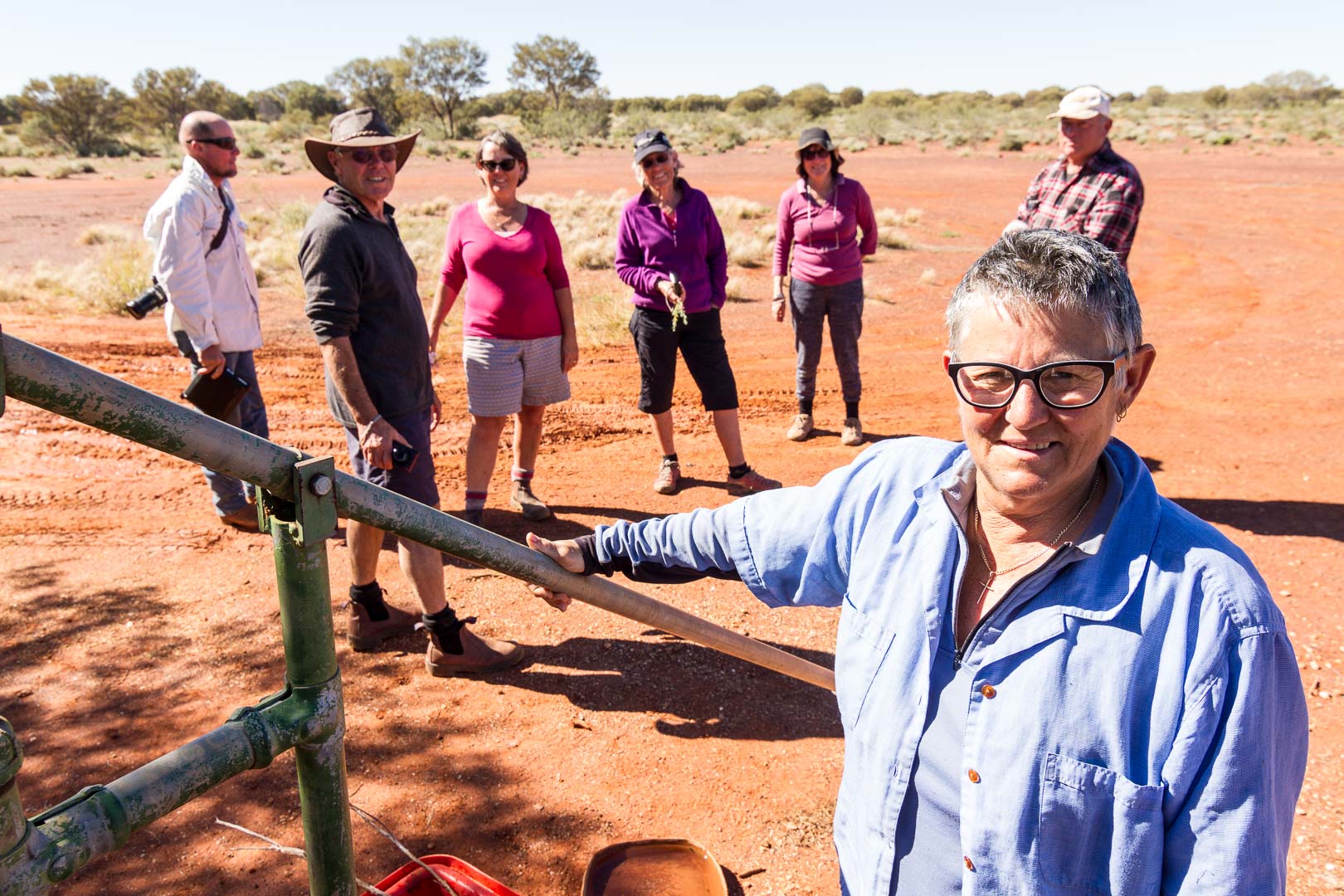
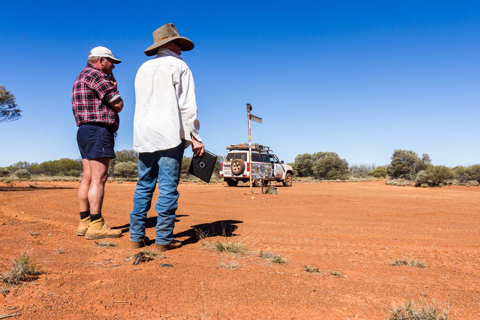
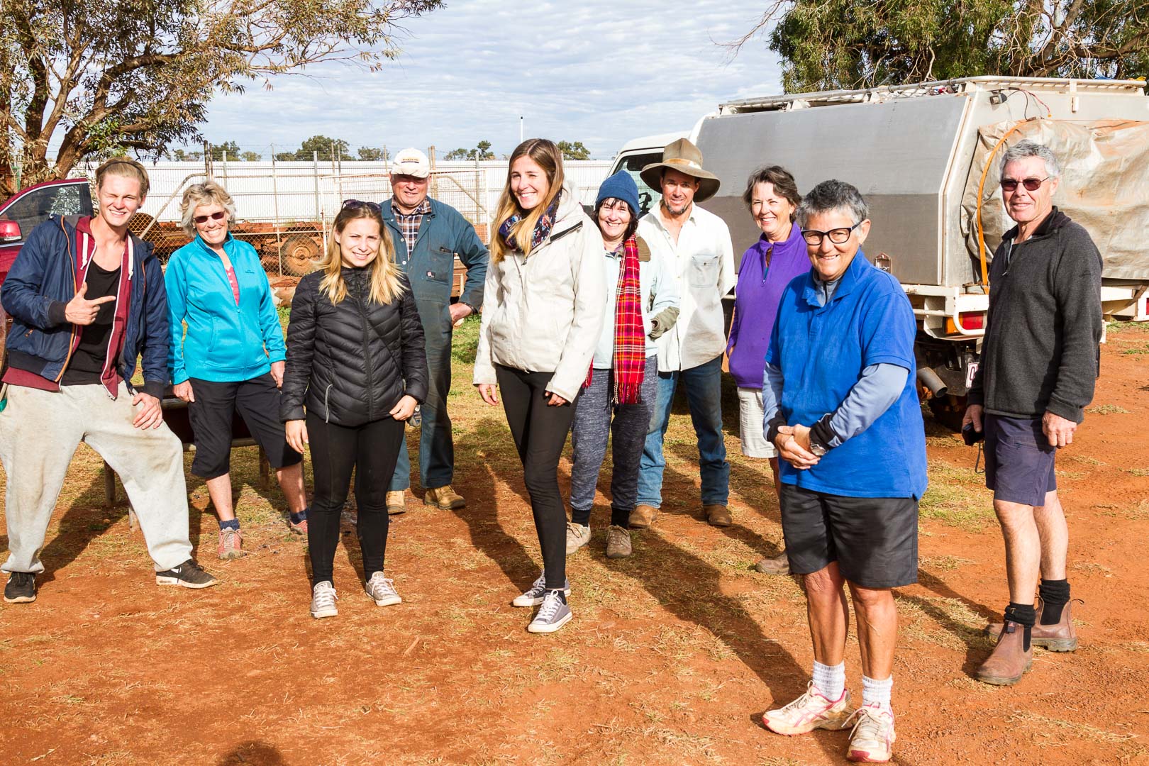
We stayed behind a high wire fence at the Warburton Roadhouse having dinner with three backpackers who had an accident earlier that day. Their car was wrecked and Bill offered them a lift to Yulara so they could catch flights.
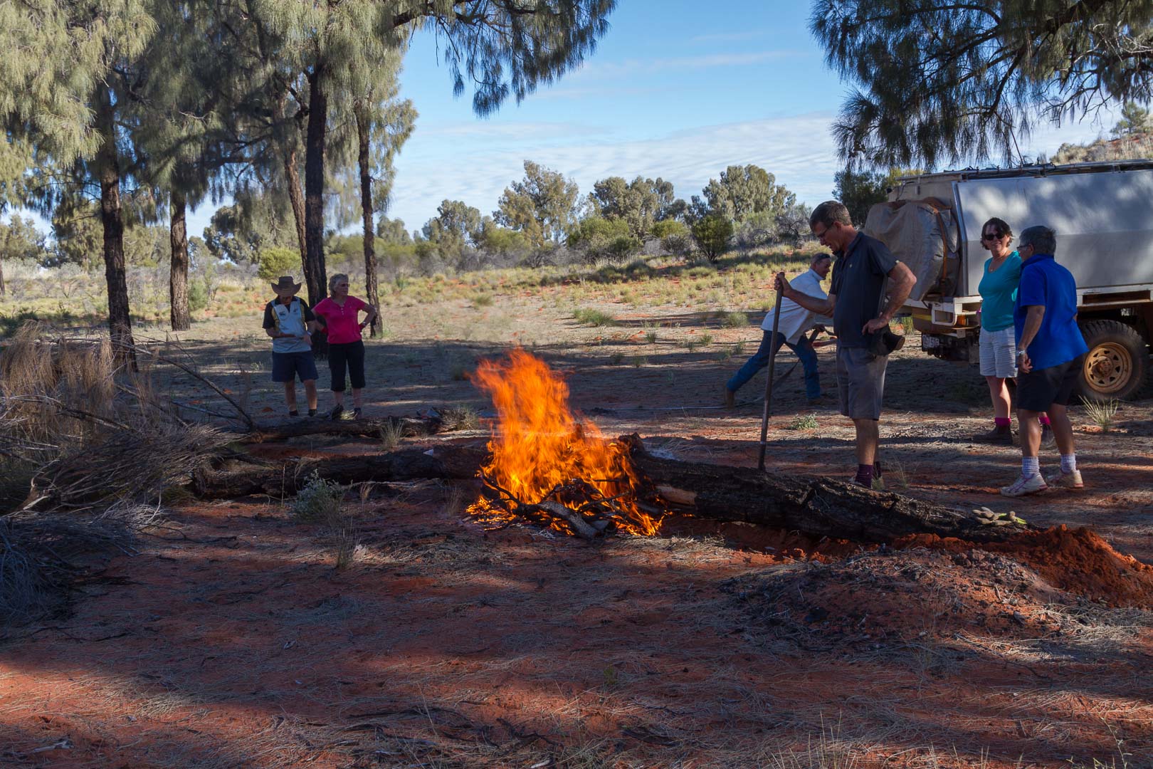
So after a yarn around the fire and a noisy night in and around the camp, we set off the next day minus one of our party. Our next piece of civilisation would be the Giles Weather Station.
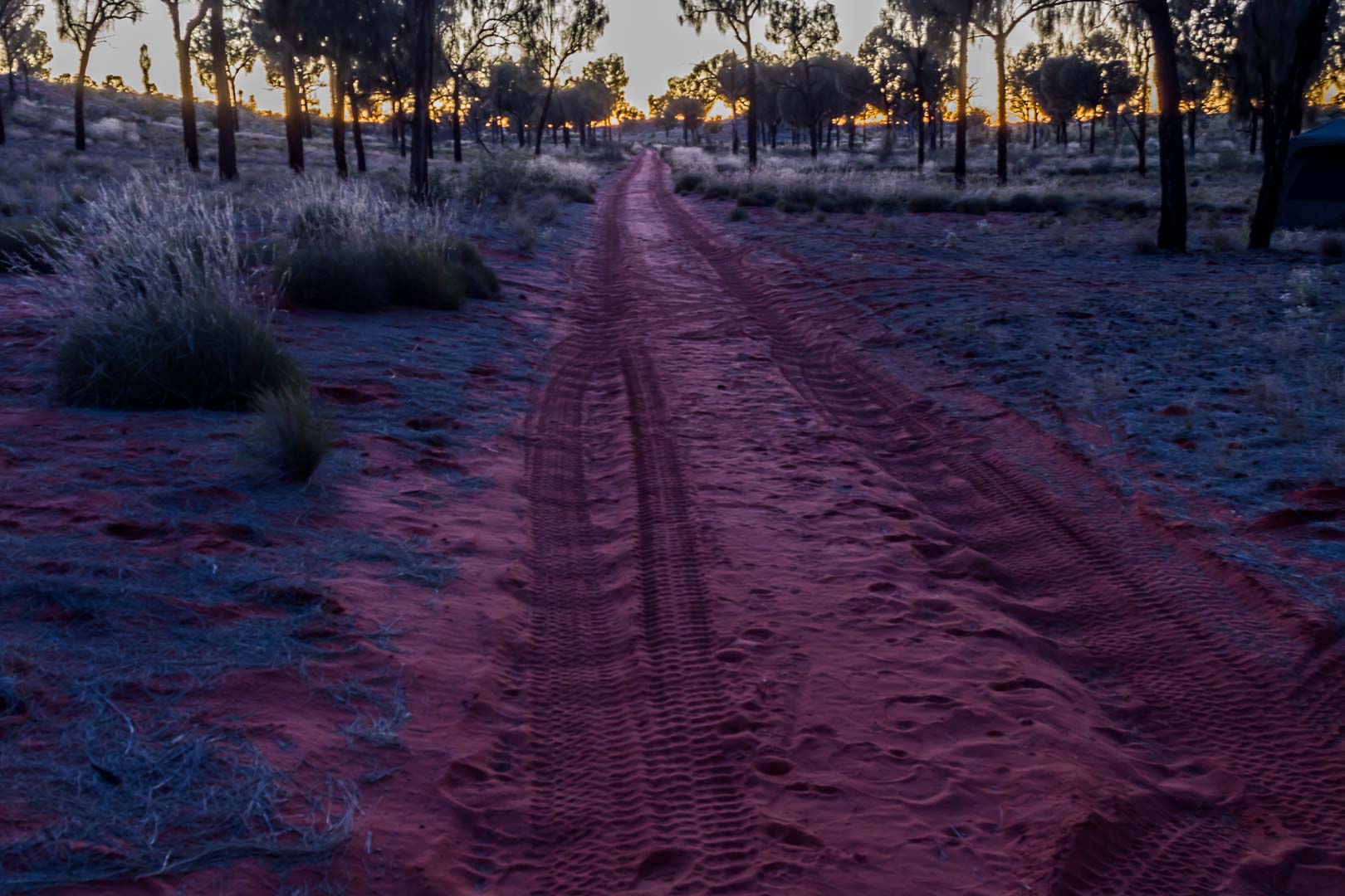
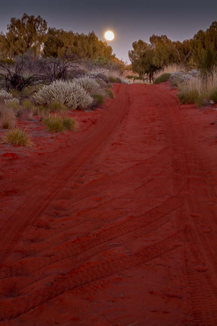
These next two days on the Gunbarrel were just about the best of the trip. Have I said that before?
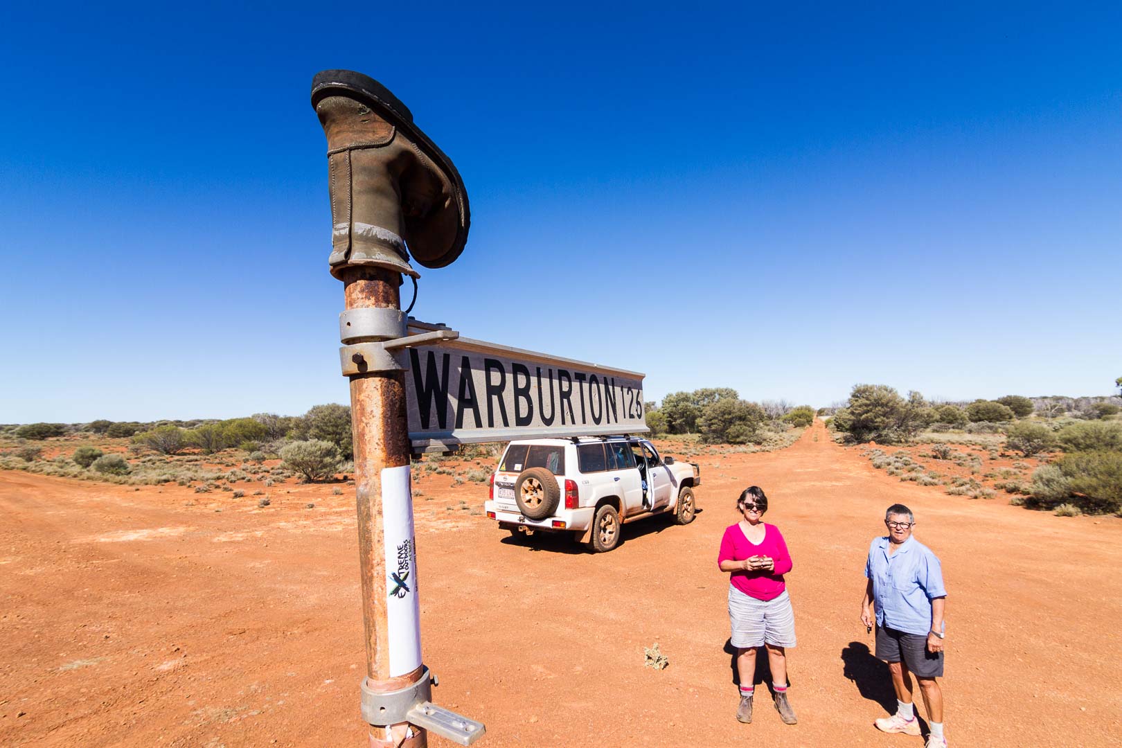
We re-joined the Gunbarrel a short distance along the Great Central Road and it wasn’t long before we found another Beadell marker near the Old Gunbarrel Highway turnoff.
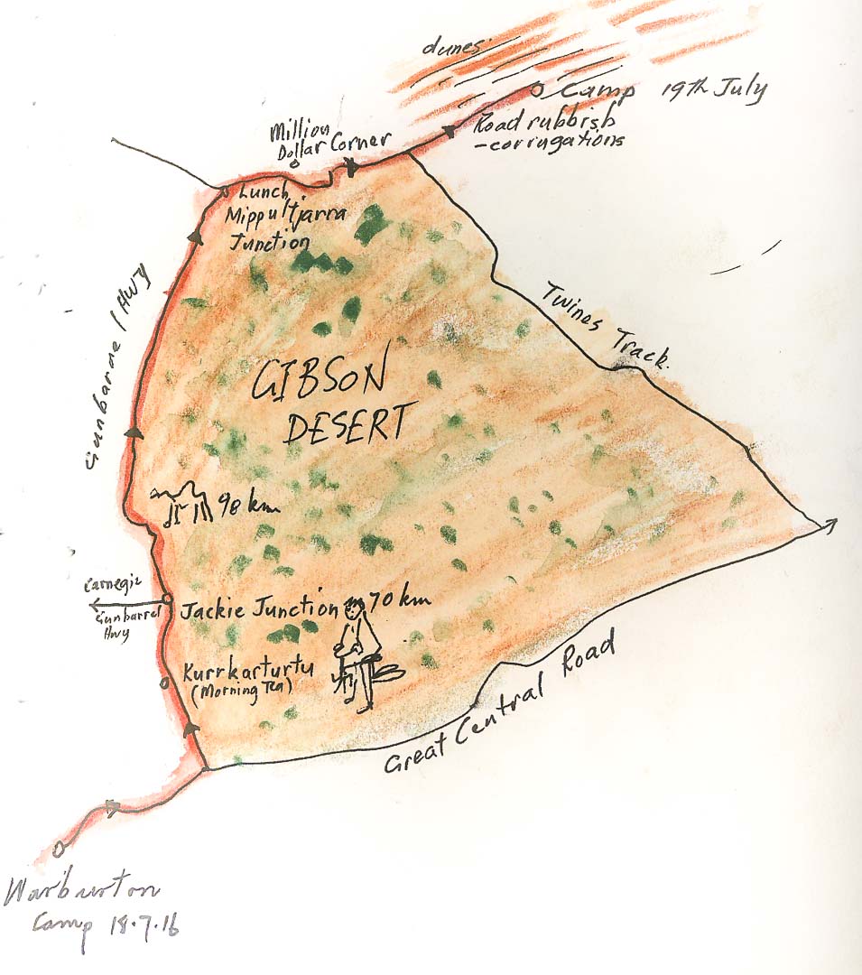
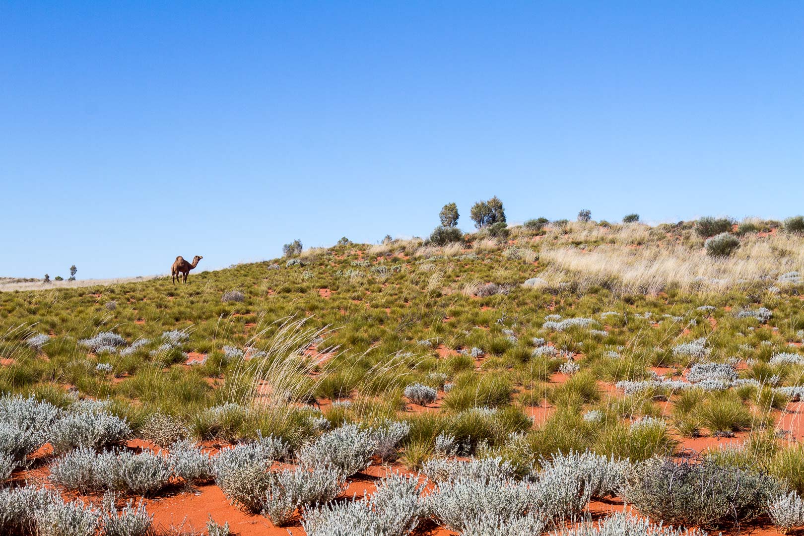
Past the Mippultjarra Junction where we had lunch, the road became rougher but the scenery compensated. We found a sign showing Million Dollar Corner so stopped for a photo. Brad drove to the top of a dune and near here a camel decided to do the same.
Million Dollar Corner
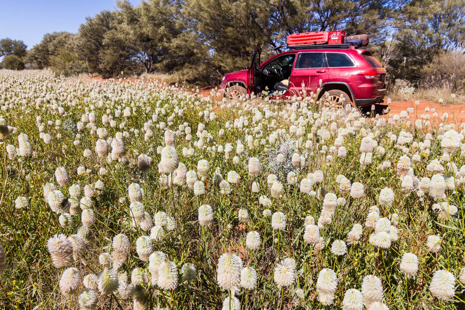
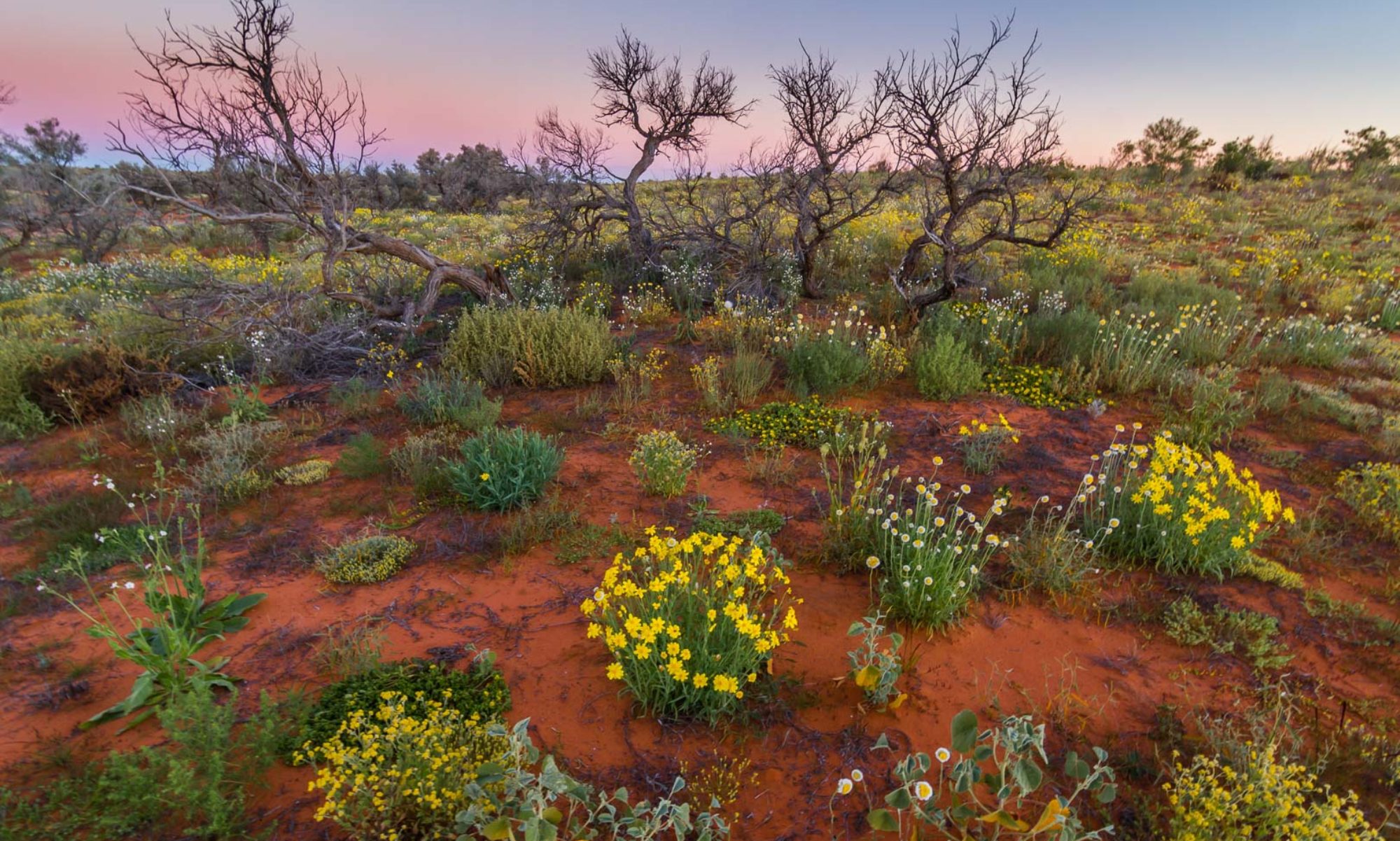
Past the Twines Track was very scenic with red dirt, mauve heath flowers, young and mature desert oaks, low sage coloured bushes in white flower. It was lovely.
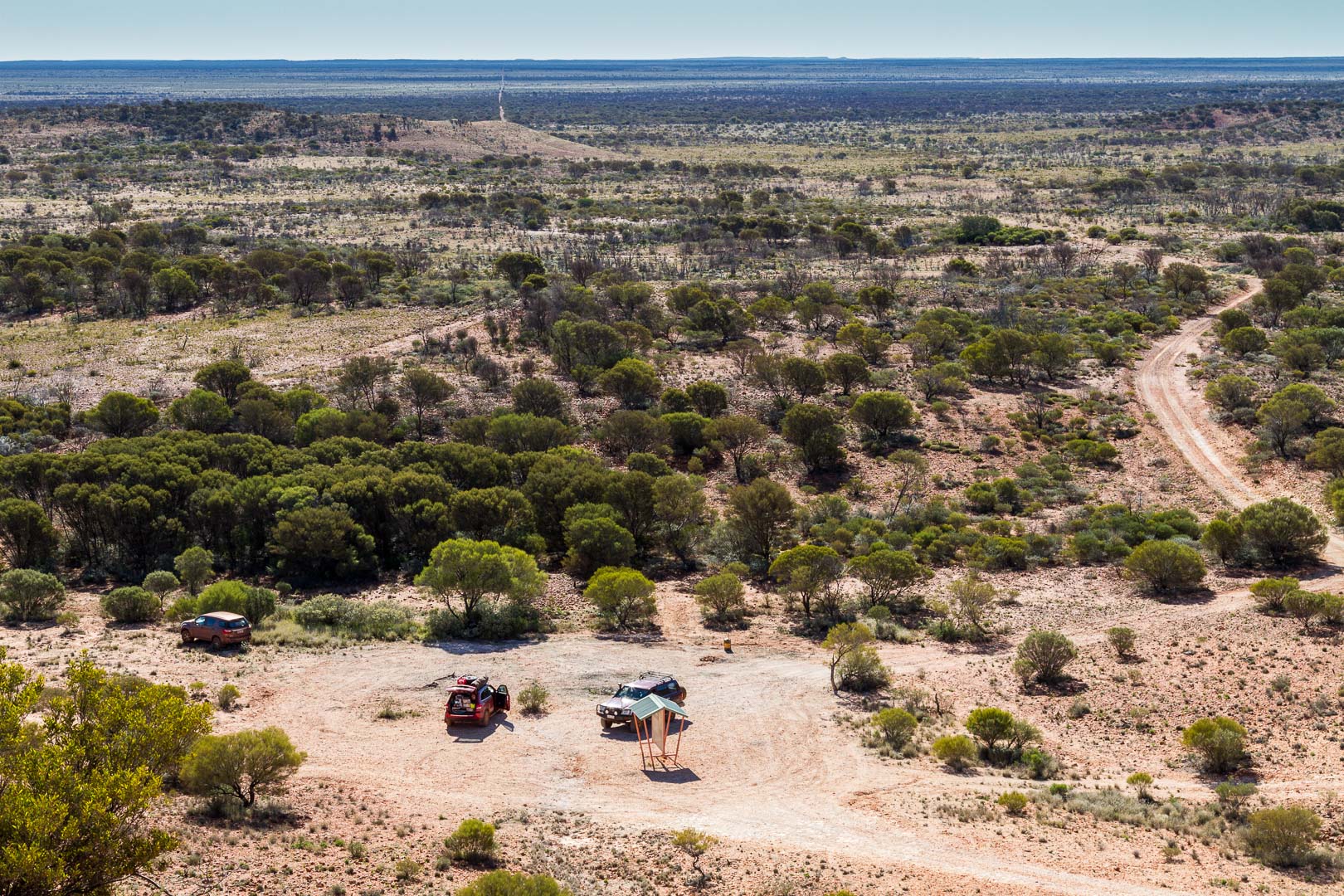
The blue Rawlinson Ranges stood on the horizon when we set off and after two hours and 54 kilometres, we reached a point where we made a turn and drove beside them. We parked under some oaks and scrambled over the rocks to a vantage point on a nearby hill which gave a good view across the spinifex plain and distant sand dunes. The road followed the ranges all the way to Giles Weather Station and Warrakurna where we filled up with fuel before driving to a late camp off the Mulga Park Road.
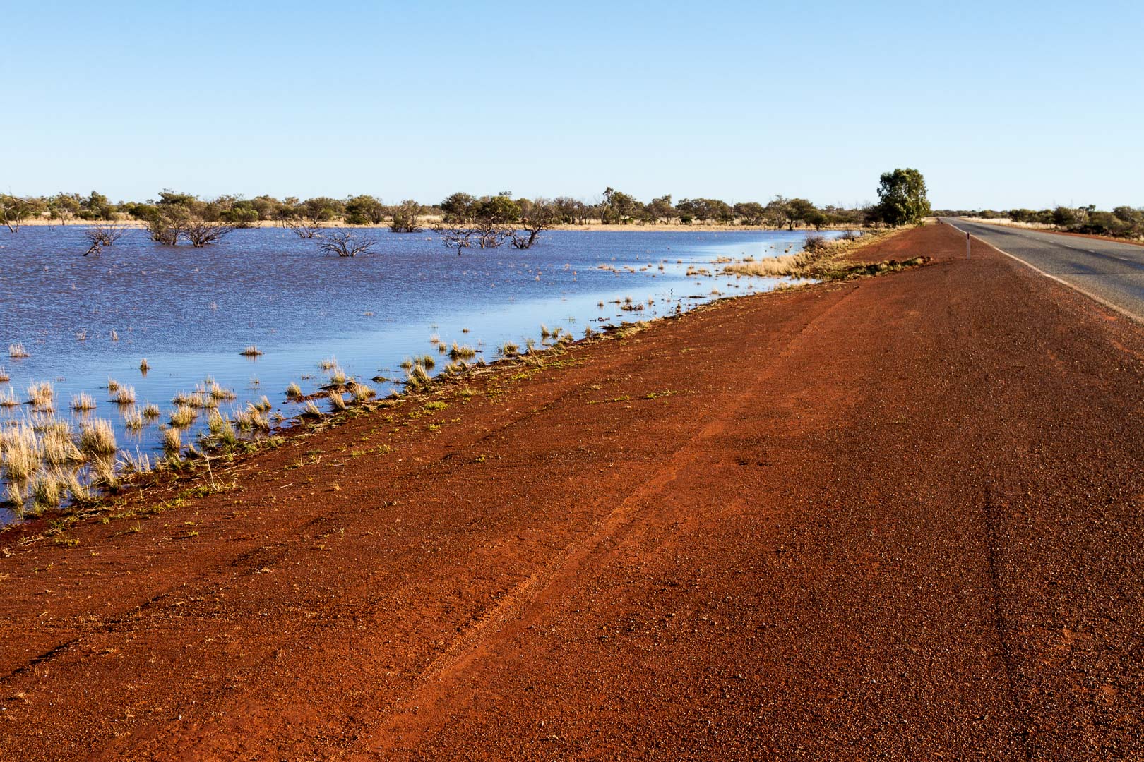
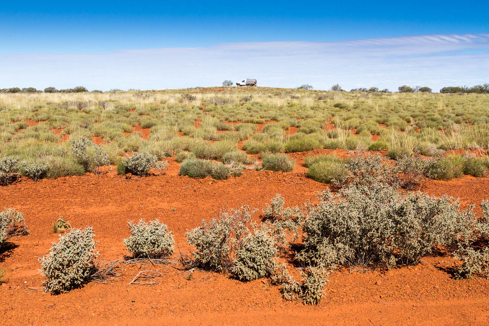
Rain last week left plenty of water in table drains, in paddocks and in lakes on the drive along a well formed Gunbarrel Highway. The country was open with low shrubs on stony ground. The road was dusty but hanging back from the others, we were easily able to do 80km/h.
It was an interesting drive with many stops at bores and creeks full of water, then beside ranges of low hills.
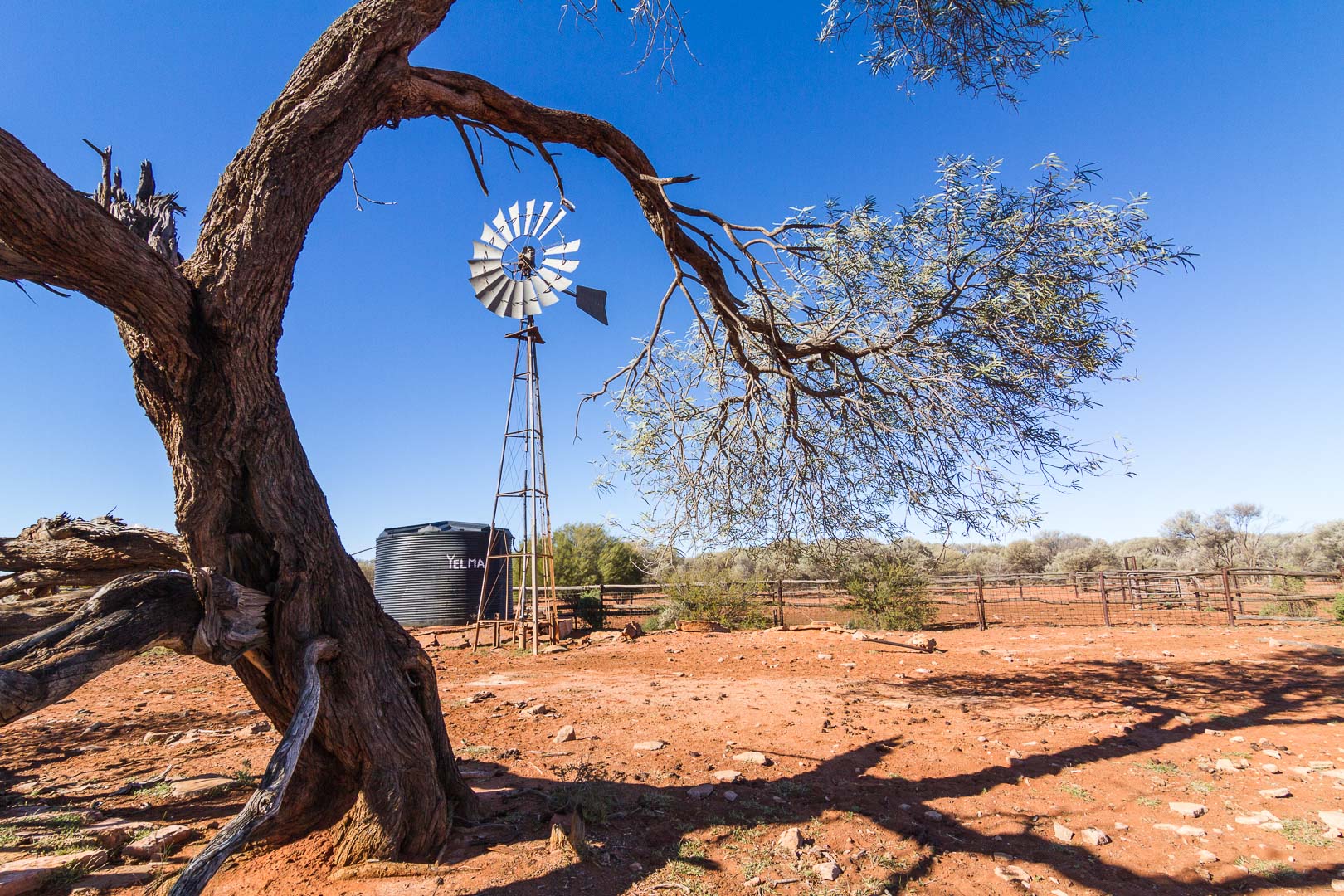
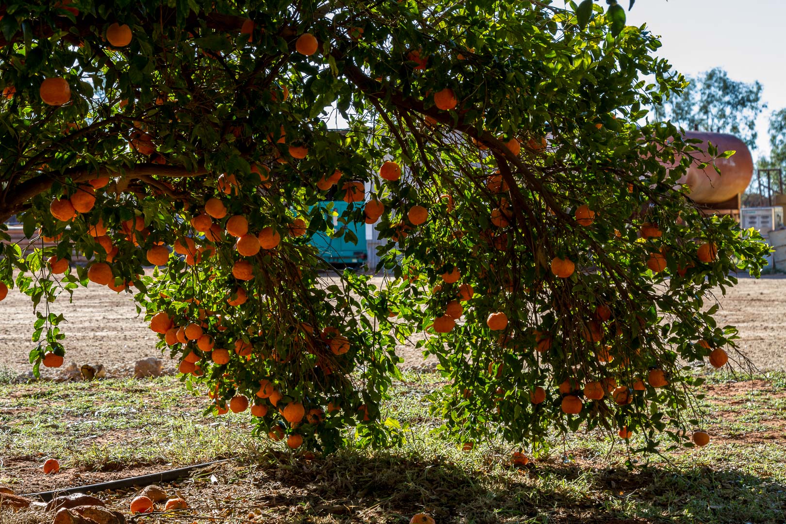
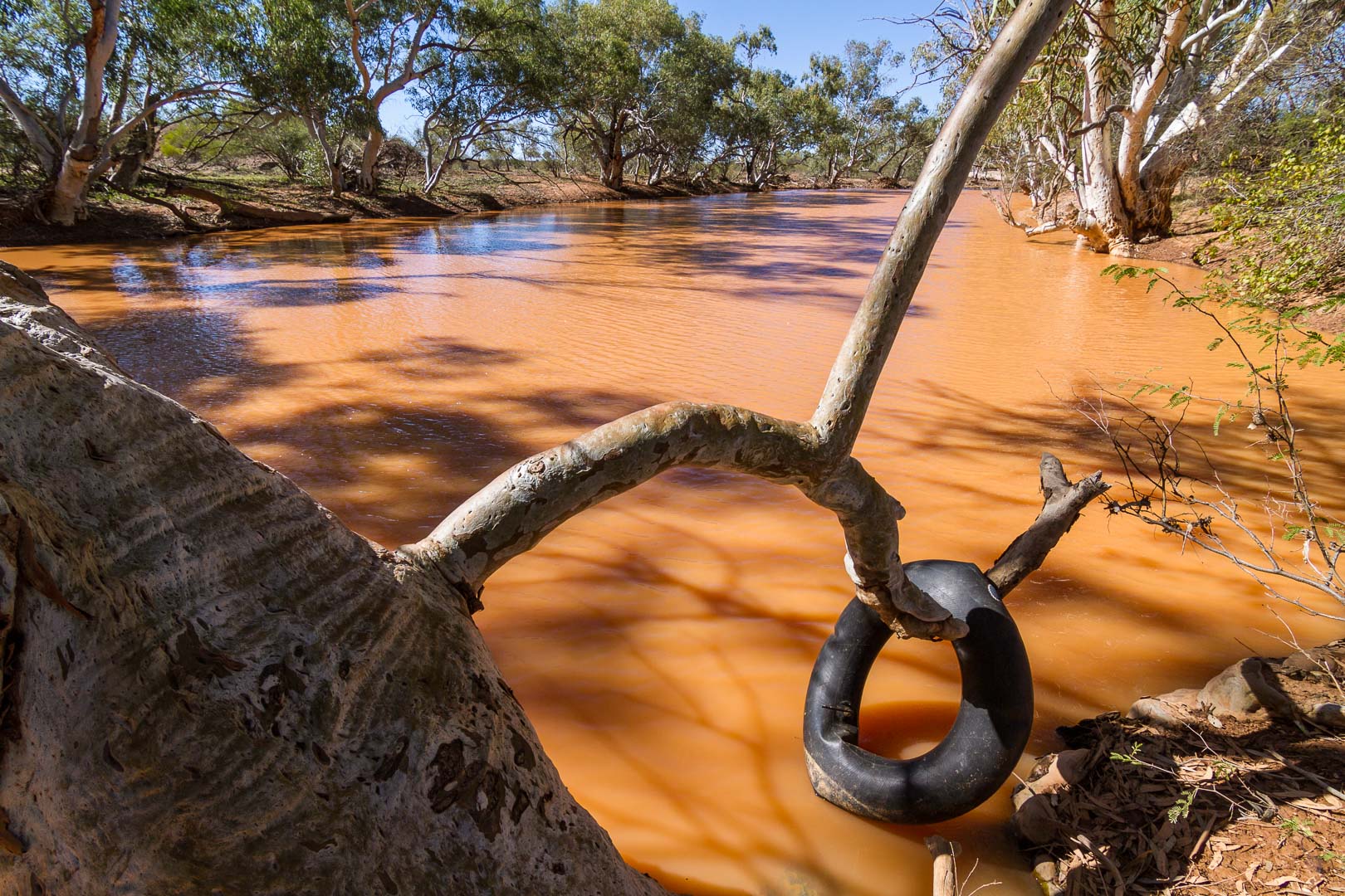
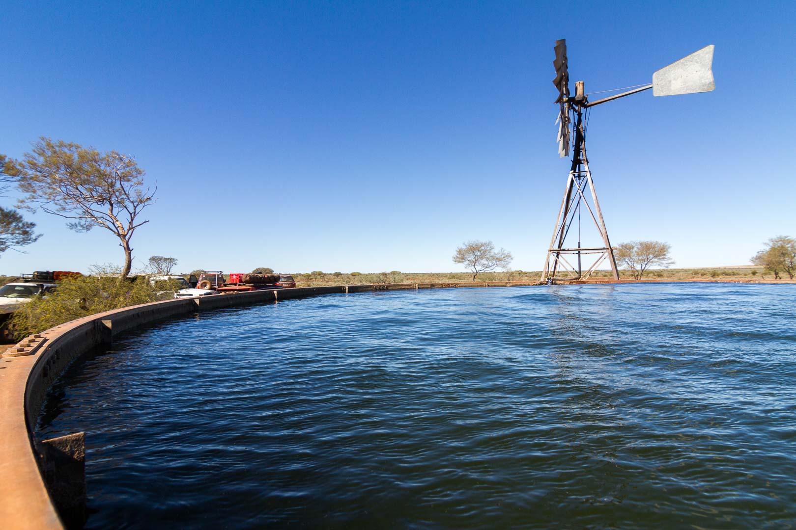
Yelma Bore, Gunbarrel HighwayCarnegie Station signCarnegie Station grew orange and mandarine trees in its gardens.The creek at Mingol Camp, before Carnegie Station, was full of water.
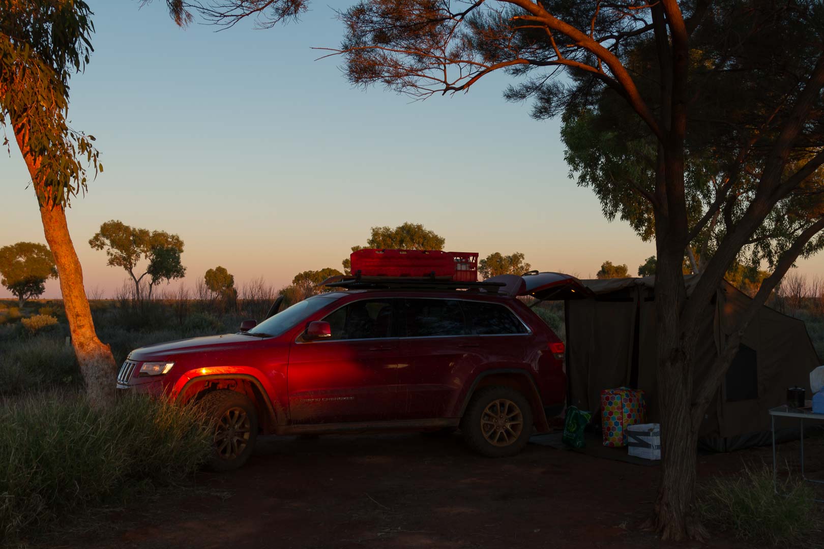
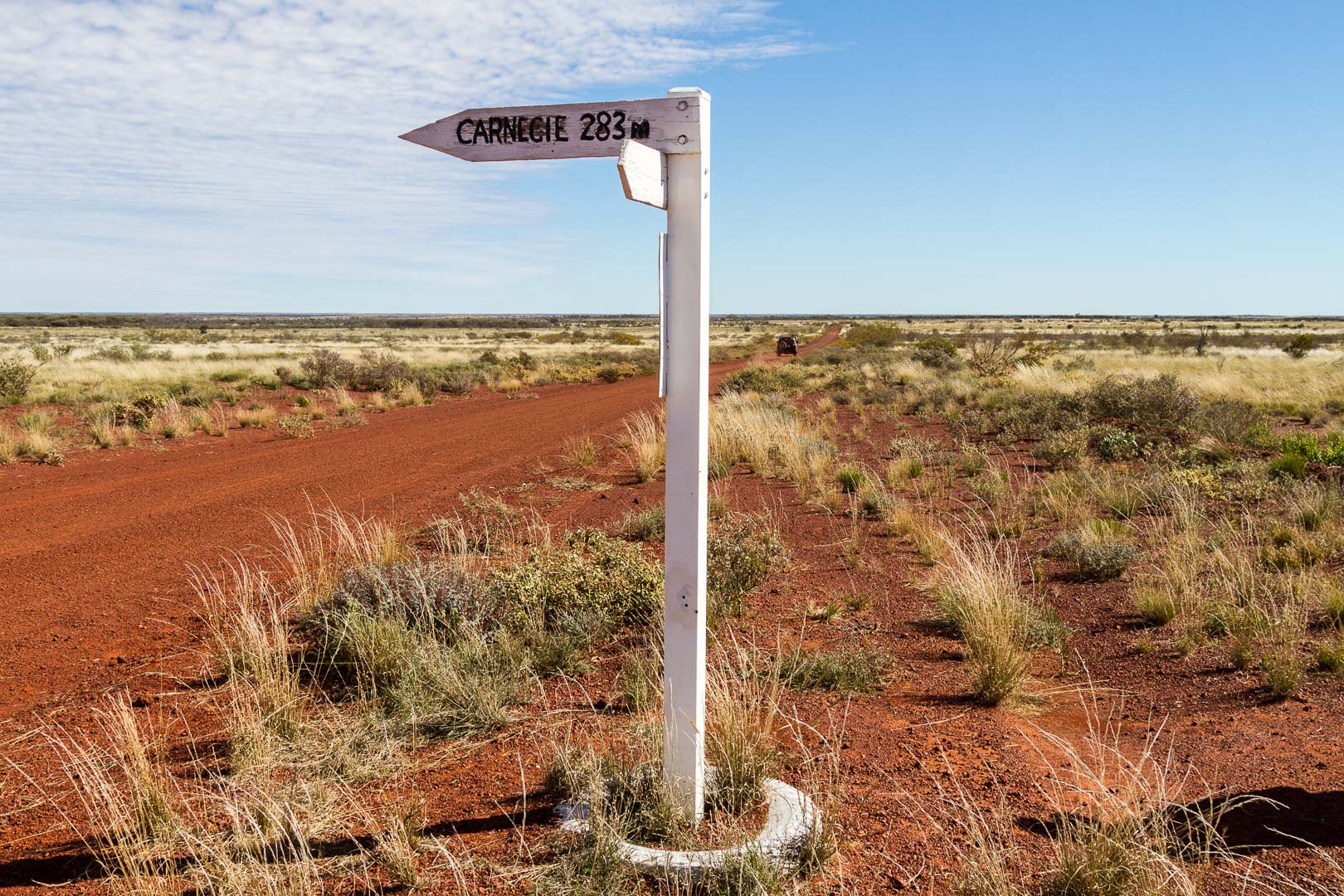
We fuelled at Carnegie Station and then camped further along the road. It was cold, cups stuck to the tables, ice on the windscreen and tent in the morning.
Carnegie Station is 4 millions acres and holds 3500 cattle.
16 July, 2016
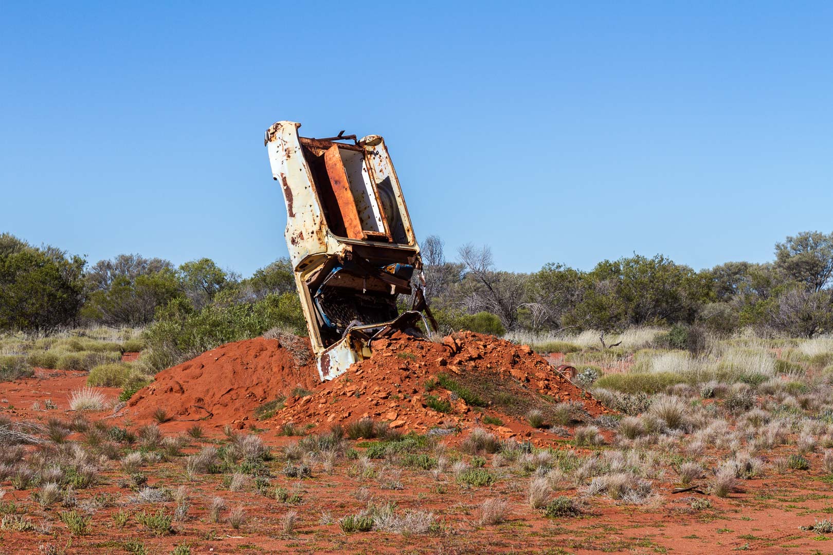
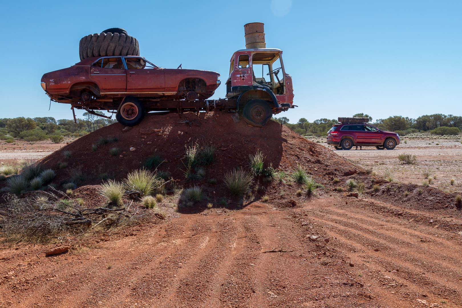
Around 9:30, we stopped at the football field, a large flat area where a grader crew had set up camp. Steel posts were erected and signs on a utility tray piled with camel bones denoted the WACA and MCG. A car was buried in a pile of dirt. It was probably the same grader driver who created the other piece of art with a truck, car, tyres and drums.
Grader art at the Football Field
Mankili Claypan was about 8 kilometres after the road began to deteriorate. A truck driver trying to get through from the east had only just got out of a bog yesterday having spent 10 days stranded. So were were surprised to meet a couple at the clay pan towing a caravan. They had also been bogged overnight and gave us some tips on how to avoid the mud ahead which we did by finding wide detours into the bush.
The border of the Wiluna Shire was 155 km from our overnight camp
Lunch was at Geralton Bore around 1:00pm and as it was a good campsite, we decided to stay the night.
Georgia Bore
Georgia Bore
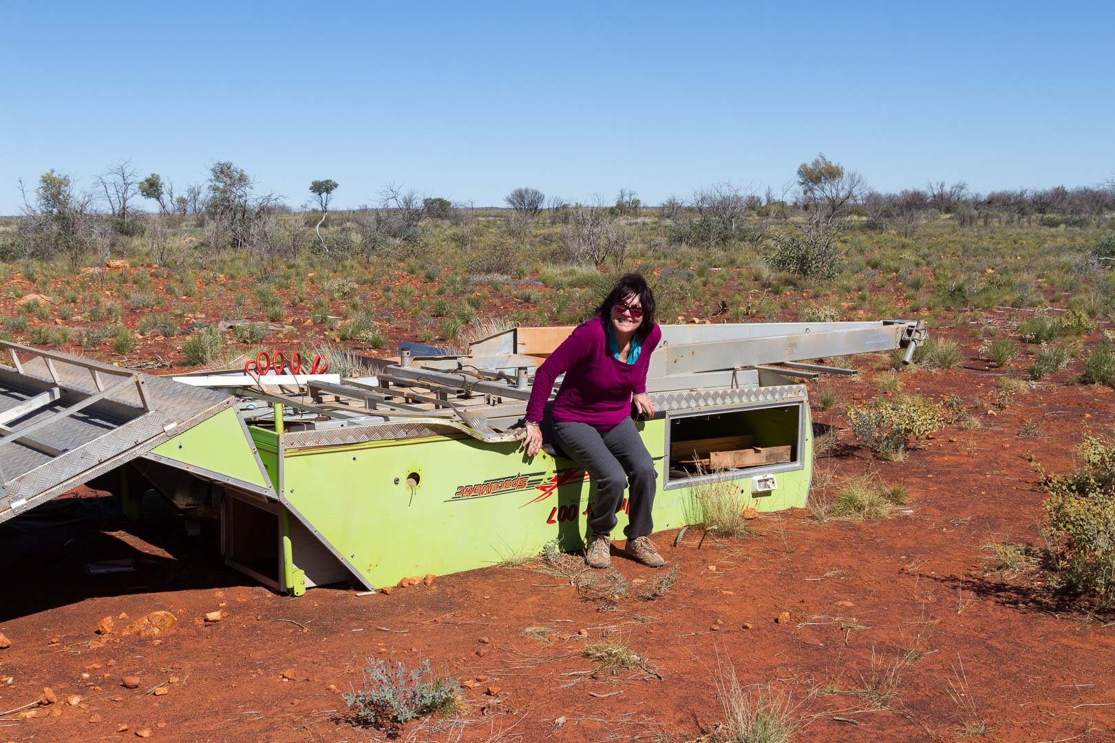
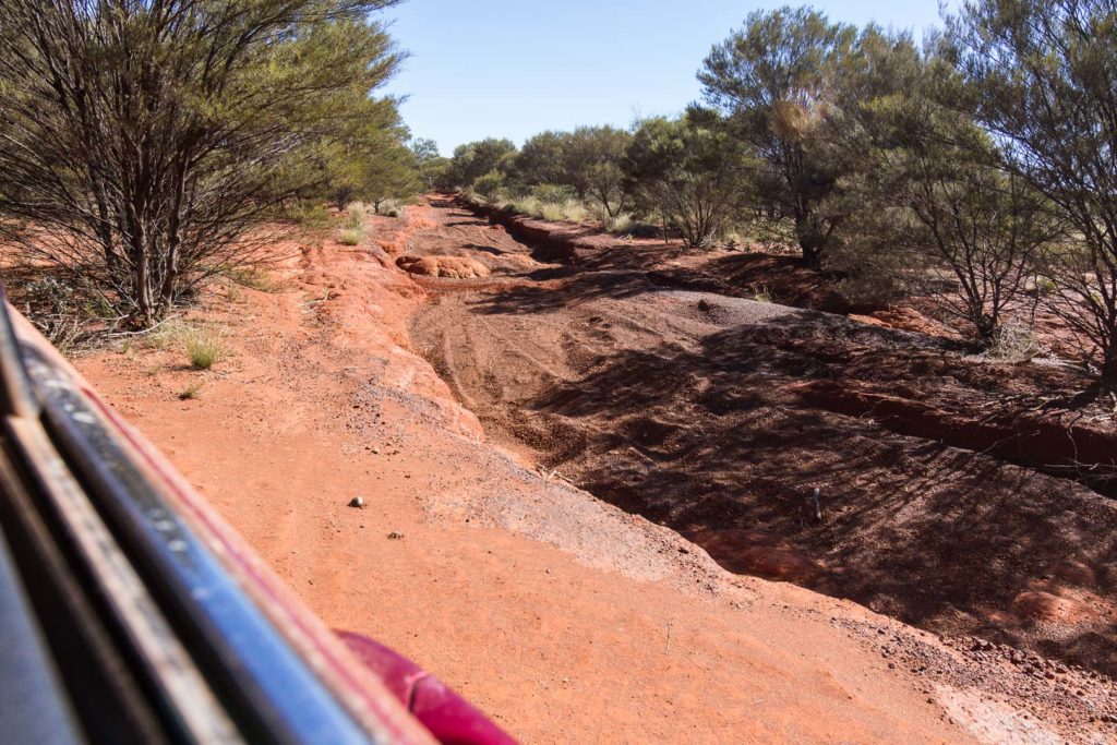
Mt Beadell was about 90 kilometres past our camp and to reach there we had to negotiate a very rough track of corrugations and washouts. Some earlier travellers lost a little bit of gear on the edge of the track.
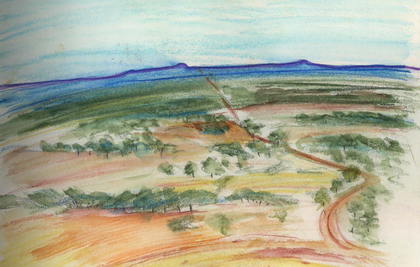
From the top of the hill we could see the road we’d driven on all morning stretching back to Mt Everard we’d climbed earlier. For the middle of the Gibson Desert, it appeared quite lush.
The Gunbarrel Highway from Mt Beadell to the west.I drew this quick sketch from the top of Mt Beadell surrounded by travellers who had earlier made fun of me driving a Jeep!
18 July, 2016
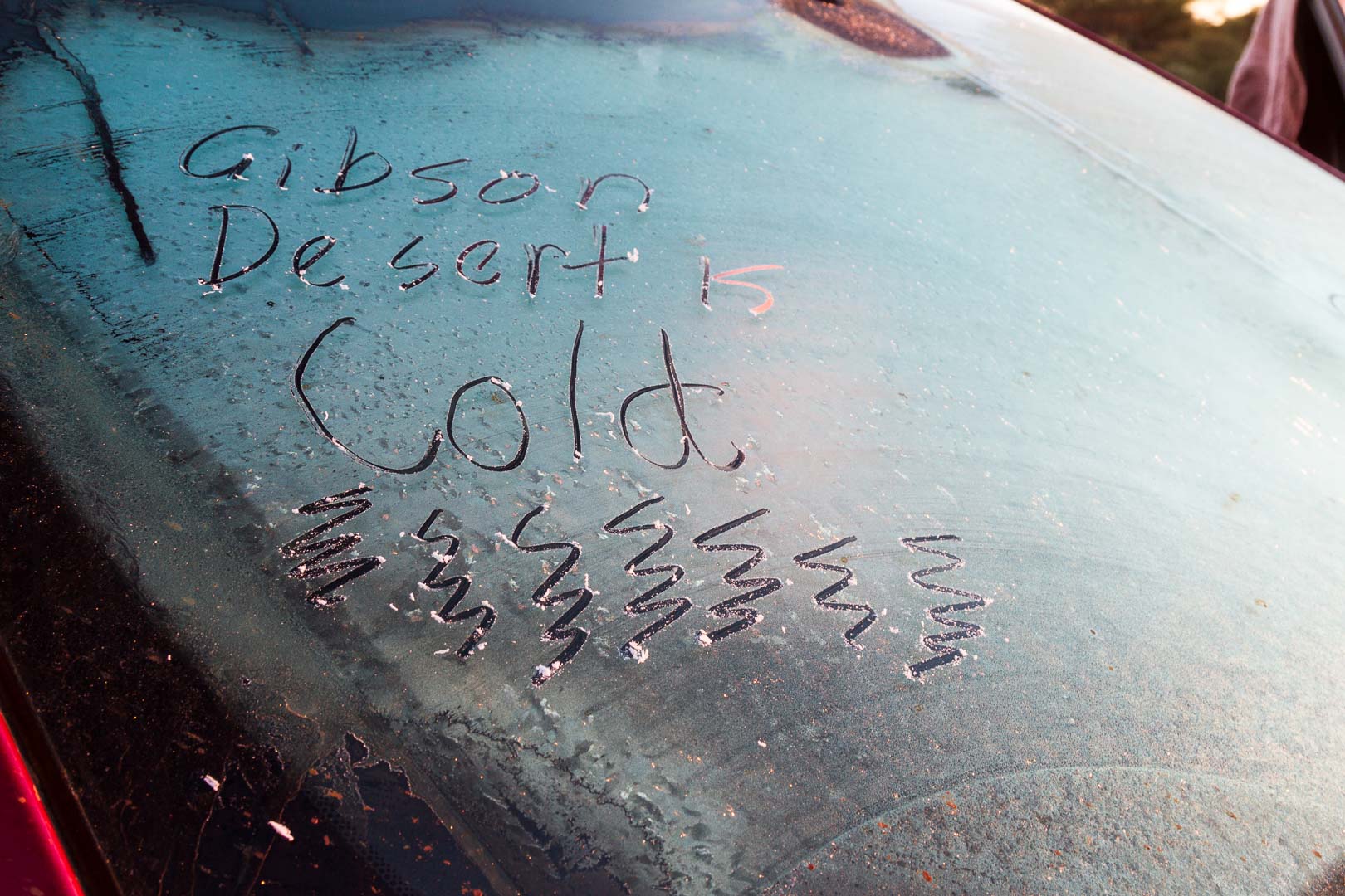
Another cold camp at the back of Mt Beadell. -4℃ on the car – frozen washing, cups glued again to the table and ice on everything not moving.
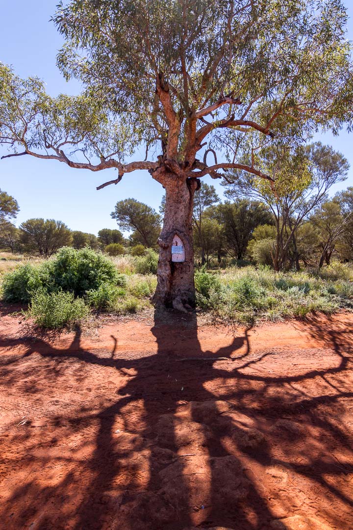
Fifty-five kilometres from the camp was Beadell’s tree where we stopped to fill water at the pump. The plaque was on a lovely mature gum unlike any other growing in this area.
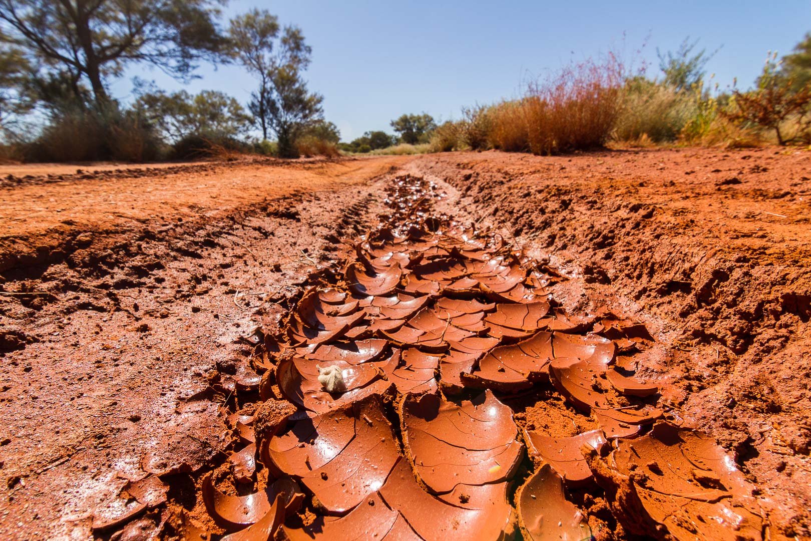
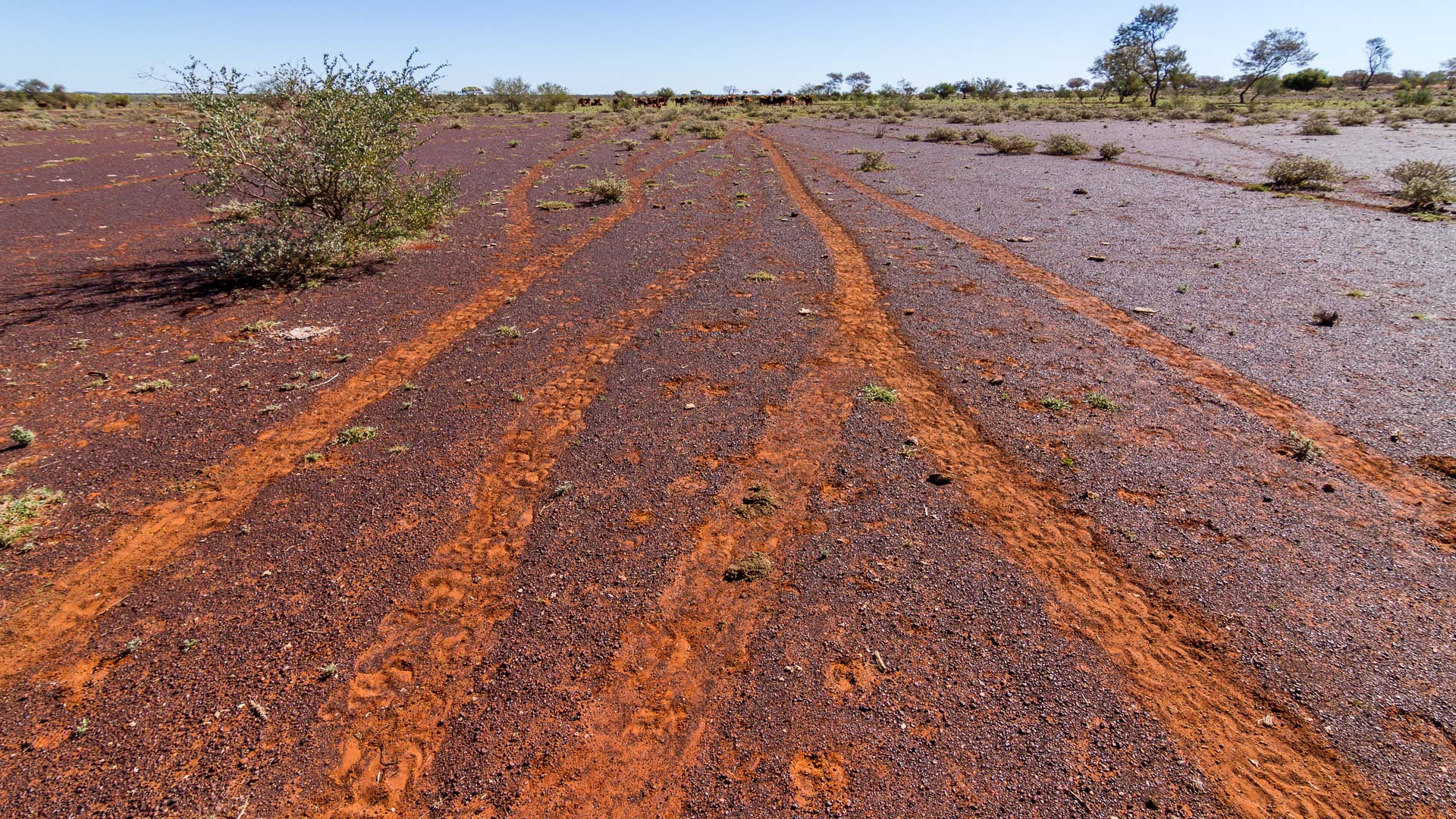
It had been wet here recently and cracked mud was still in the wheel ruts.
Sharon drove for the worst of the road again through washouts, ruts, corrugations, rocks, creek beds for tracks. She handled it like a pro.
What was the Gunbarrel Highway is now a creek bed.Fields of mulla mulla beside the road. Scores of monarch butterflies fluttered around us as we walked through the field.Driving along the Heather Highway towards Warburton.
The
Heather Highway bypassed the Gunbarrel and if possible the road deteriorated a little. The countryside was flat and uninviting and it gave glimpses of what it could be like in the bad times.
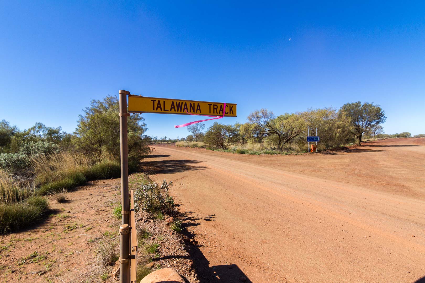
The Talawana Track out of Karlamilyi joined the main road at Balfour Downs and from there it was an easy drive into Newman.
Earlier we stopped for a cuppa at the CRA bore, which without the well, would be a desolate place.
CRA BoreCattle Pads, CRA bore
A couple of nights in a bed, a service for the Jeep, some shopping, and room service of scallops and calamari watching the State of Origin was a real treat.
The road outside of Newman.
Wiluna was 450 km on a well graded road and after stopping off at Well 2 and 1 on the Canning Stock Route, made it to our camp at the Gunbarrel Laagar 11 km west of Wiluna.


 20 July, 2016