Leg 6 – Rudall National Park, WA

8 July, 2016

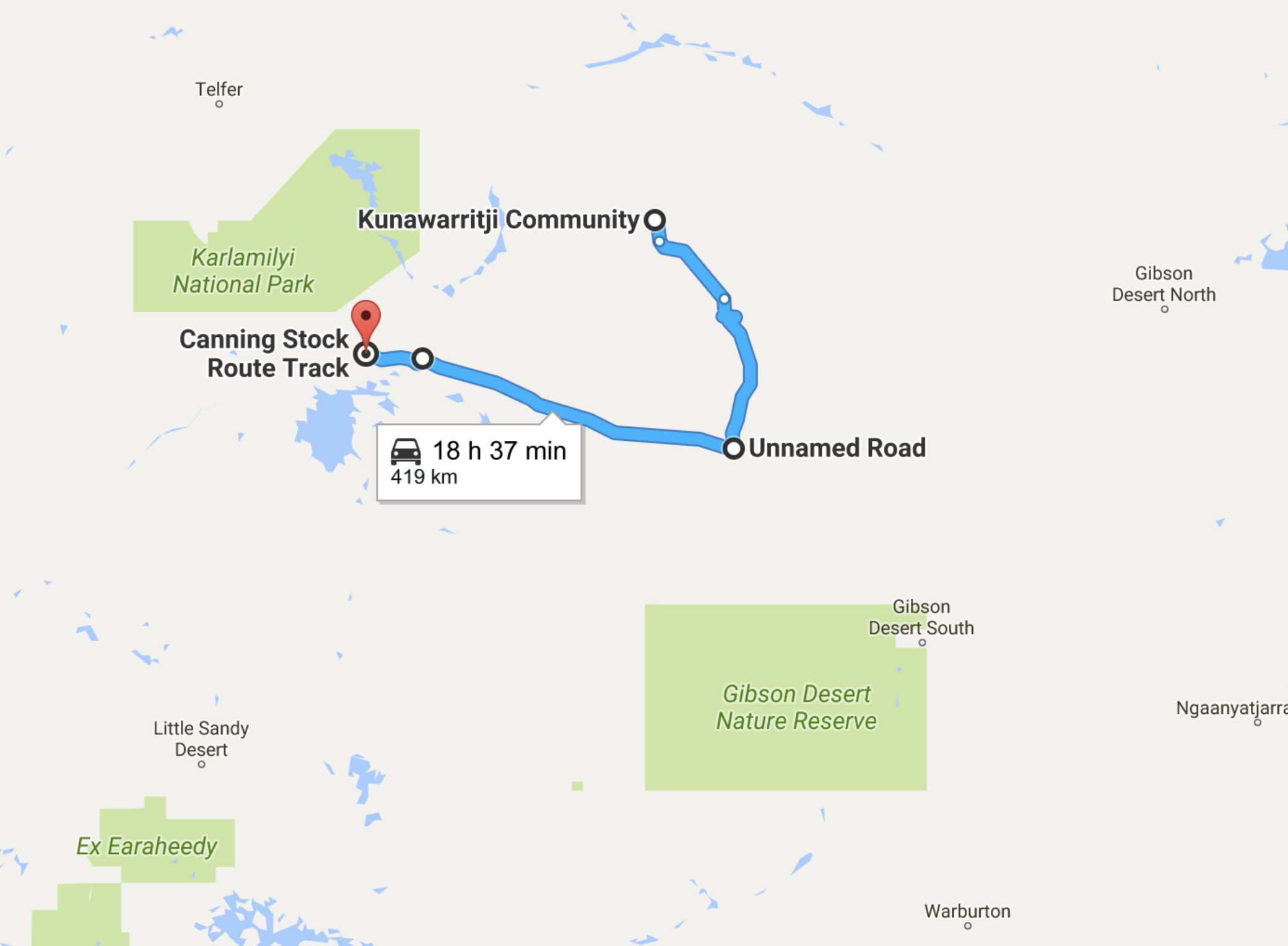
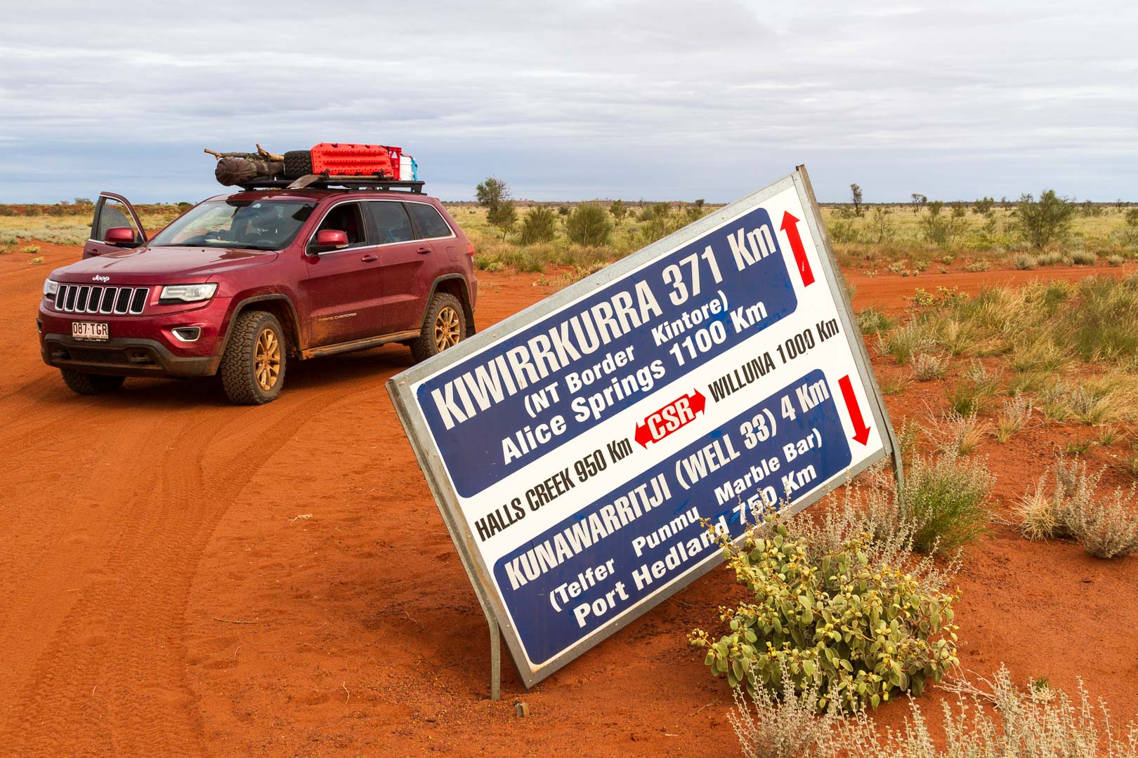
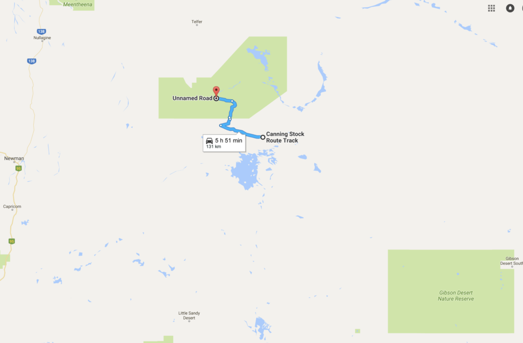
The next part of our trip took us to Karlamilyi National Park, Rudall River.

The hills beside the road to Parnngurr Community


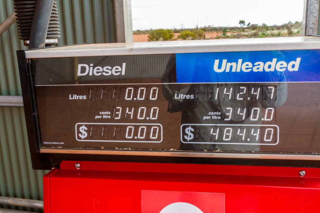
It was 81 kilometres from our camp to the neat and tidy, Parnngurr Community where we bought fuel and ice-cream! Fuel here was $3.20/L and I took on 75L. Yesterday’s economy was the worst of the trip, 14L/100km.

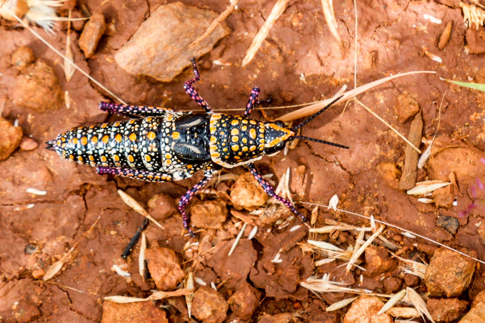
A cuppa on the side of the road before the township had us discover an interesting insect, a blistered pyrgomorph, a cross between a cricket and a grasshopper. It was quite a remarkable creature.


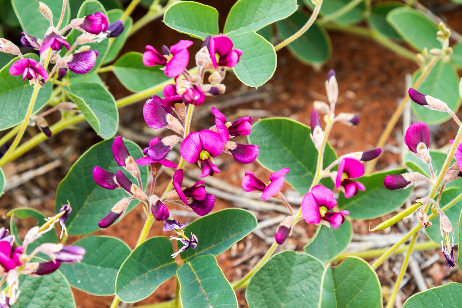
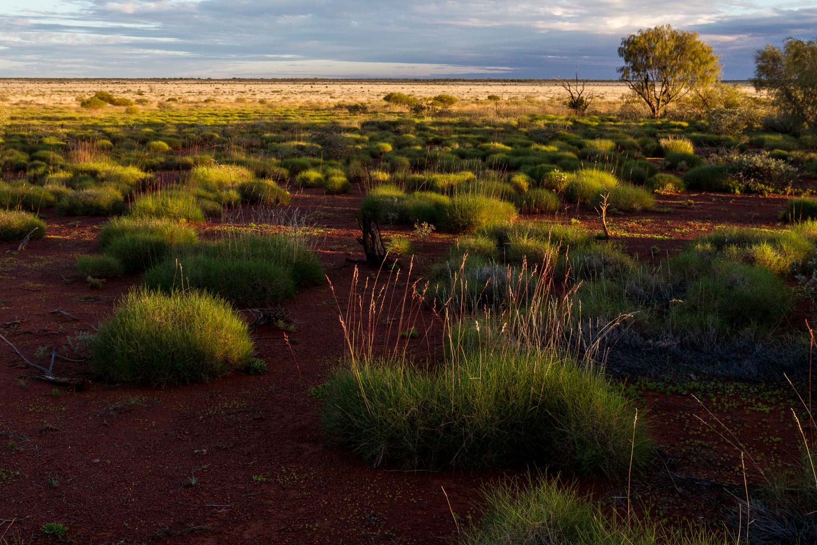
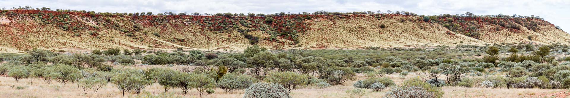
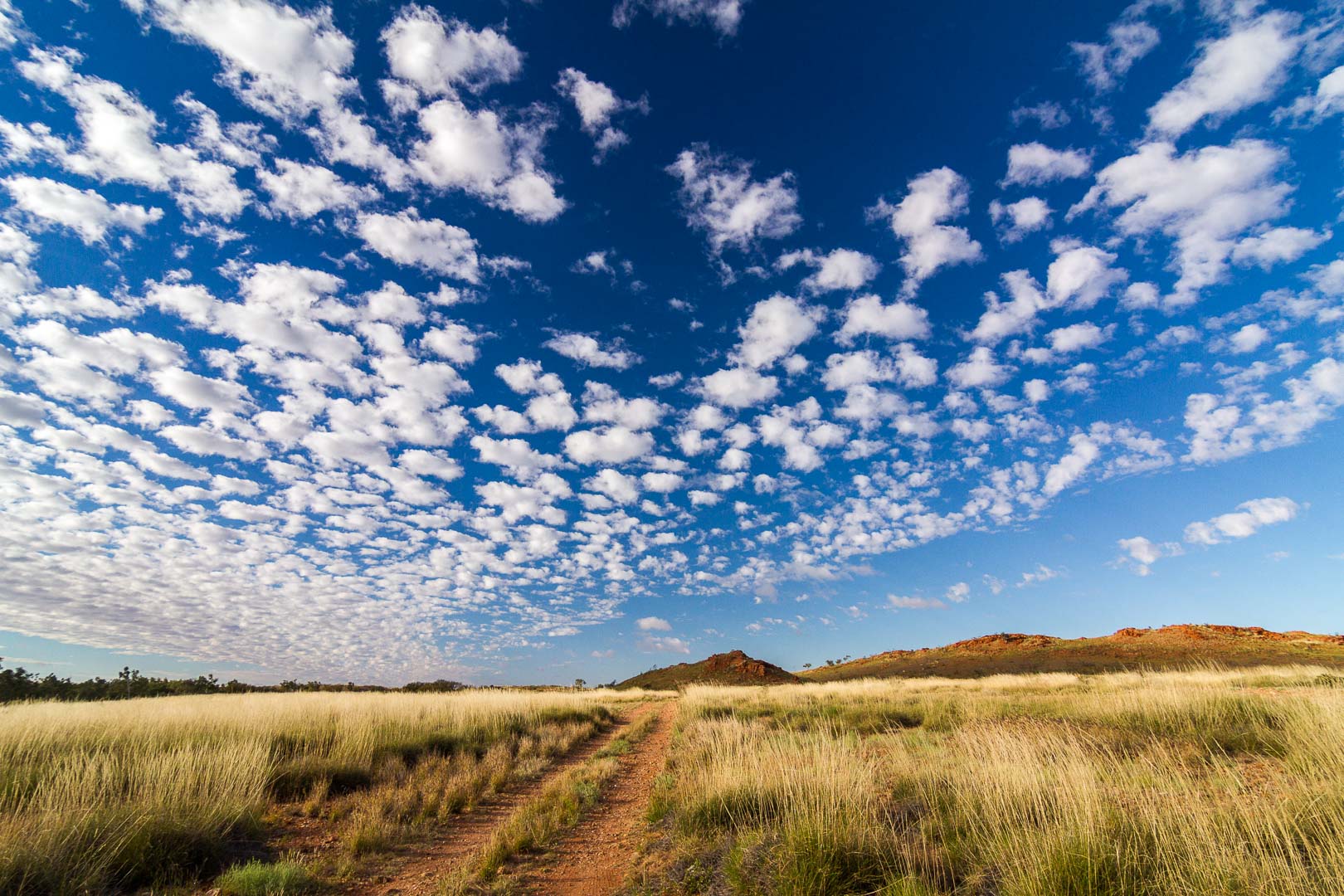
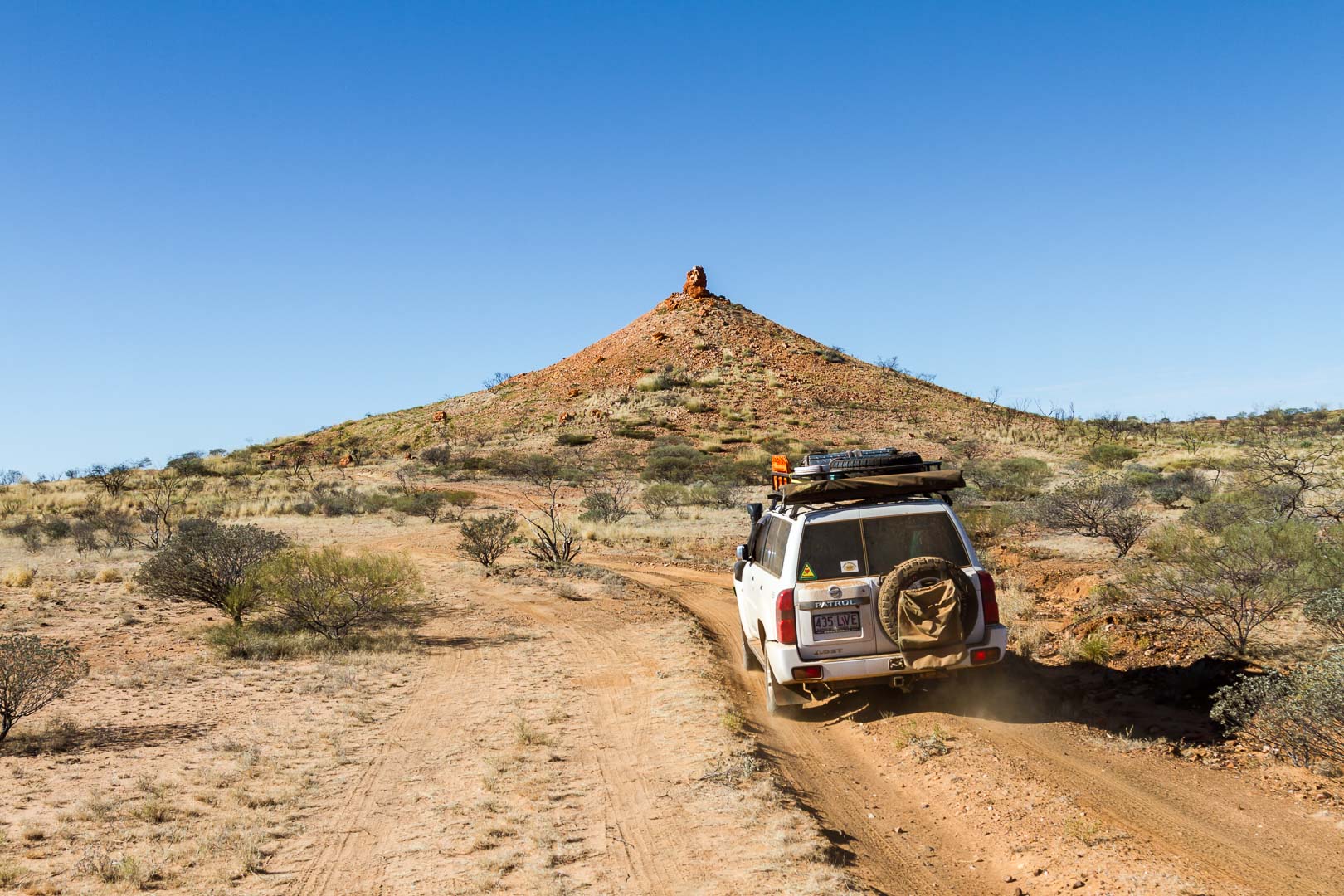
The countryside around Parnngurr is very scenic with low hills of orange rock and slopes of new green growth. The road was wet and clayey in parts but later dried out and we could slip along at about 60km/h for some time. It was here that another car in our group narrowly avoided the first vehicle we’d seen in three days.

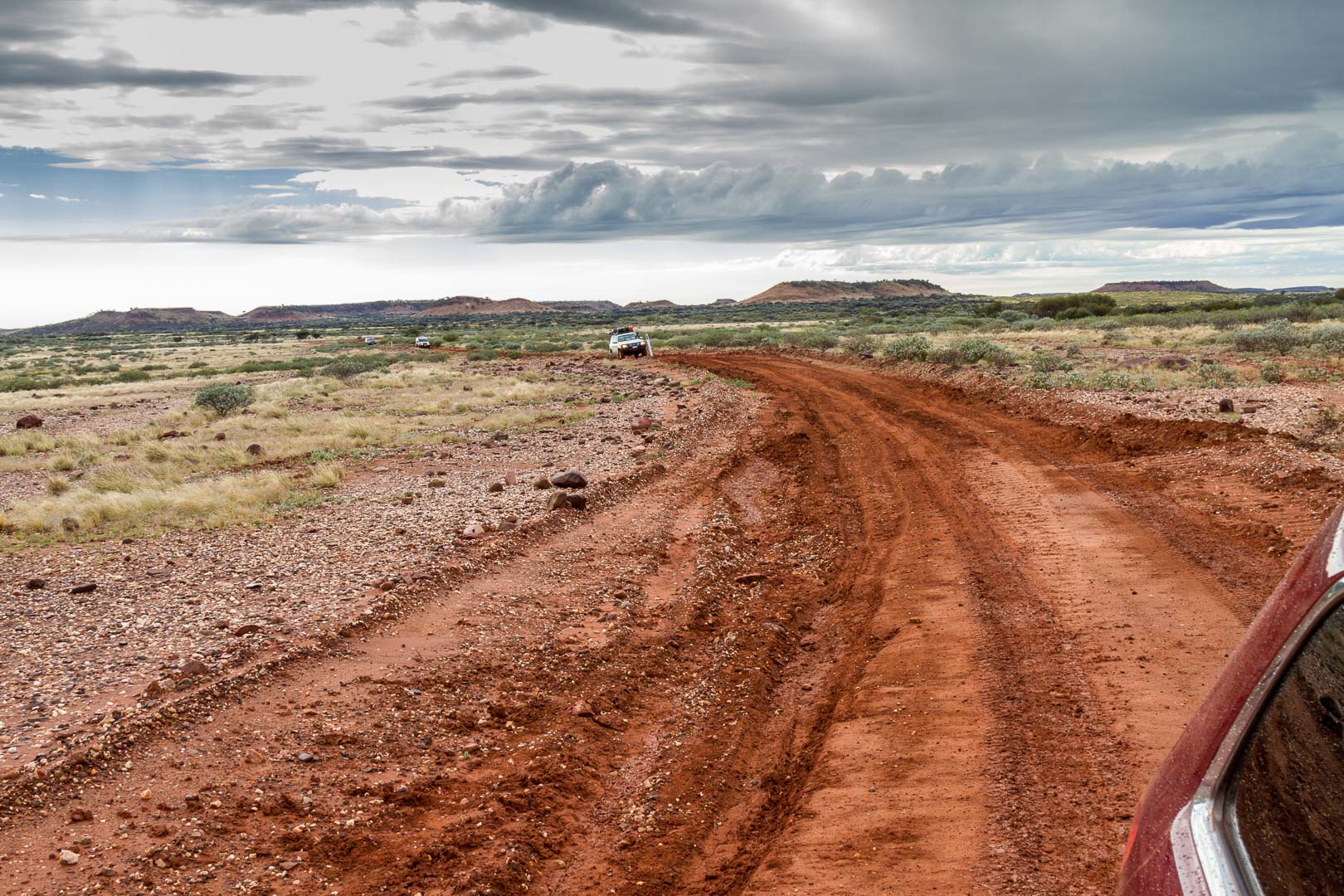
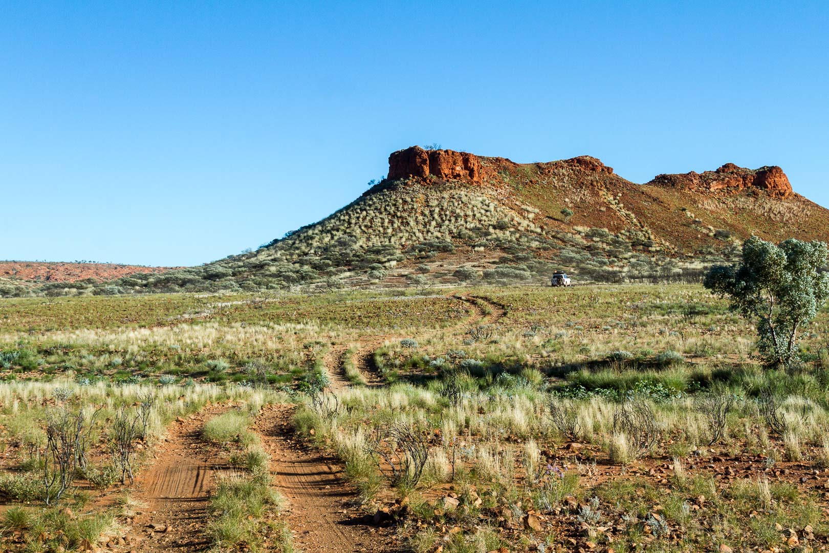
The road to Karlamilyi National Park had also been graded so it was a comfortable drive into the hills.

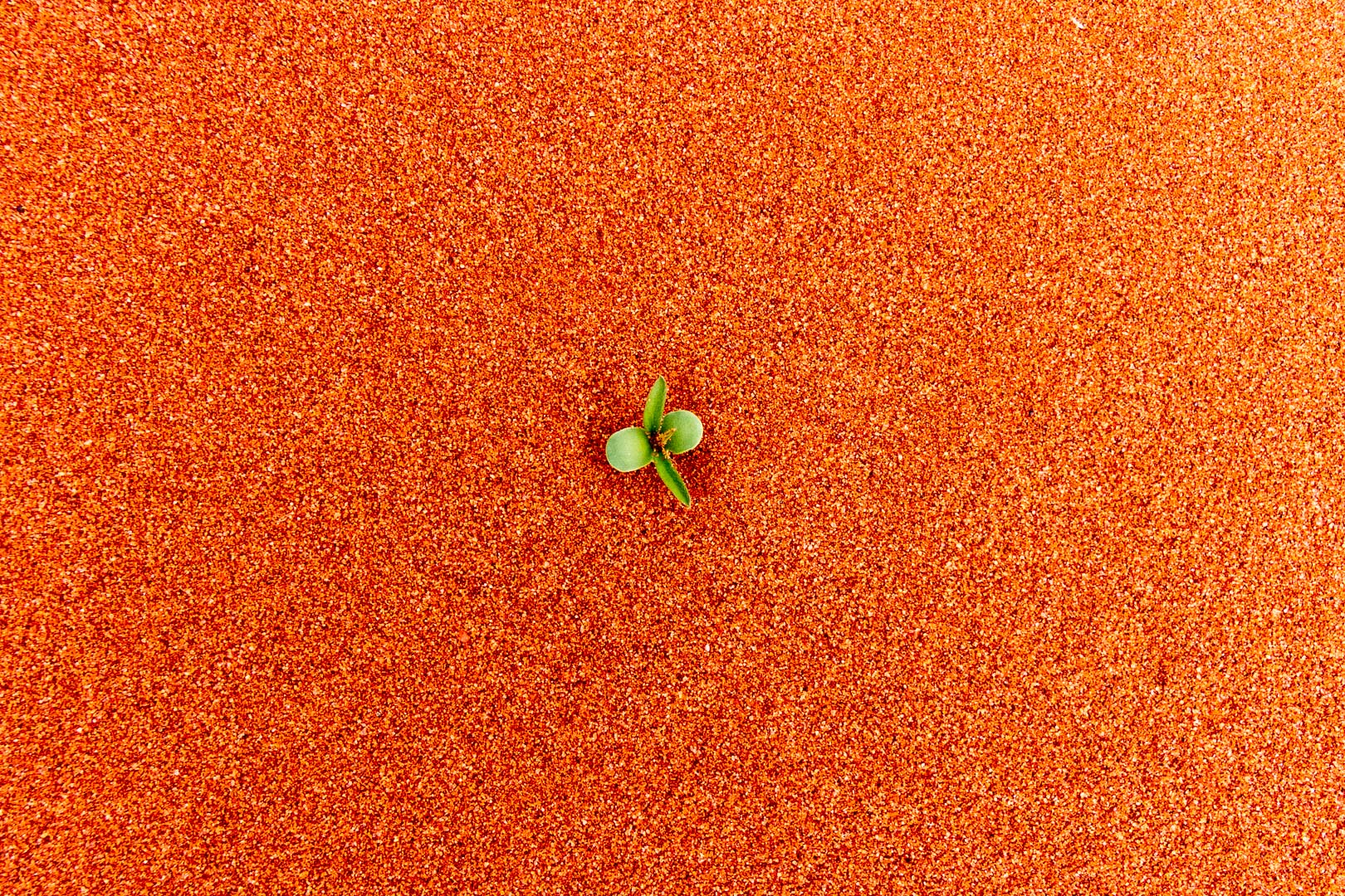
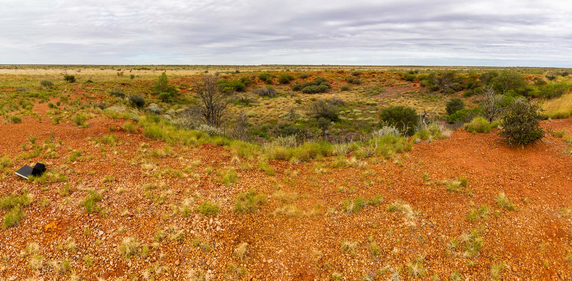
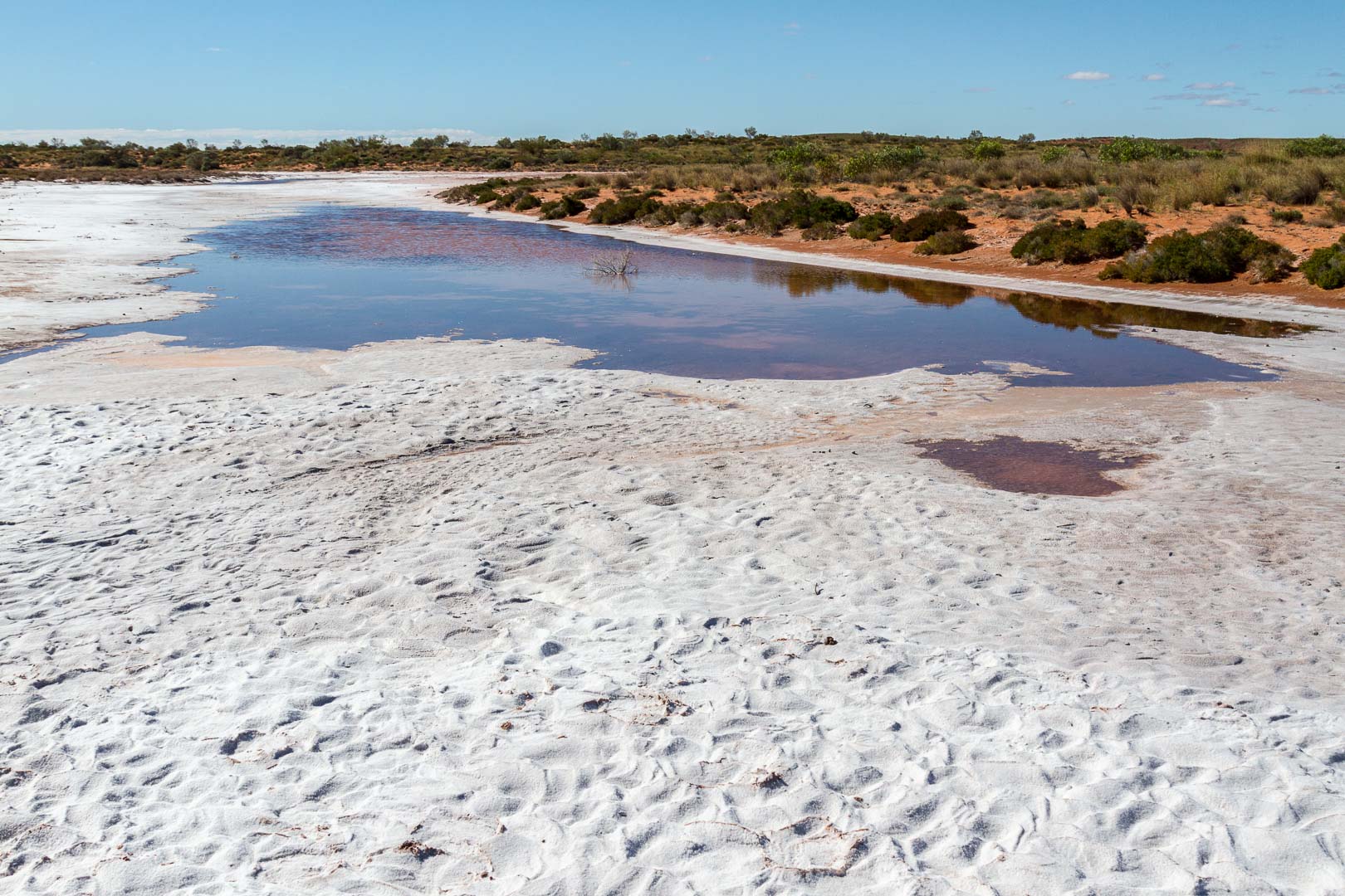
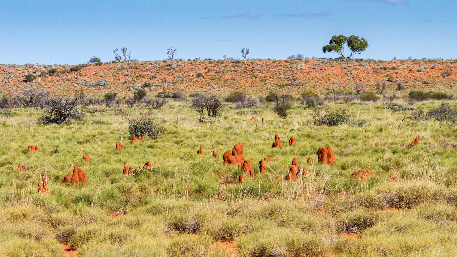
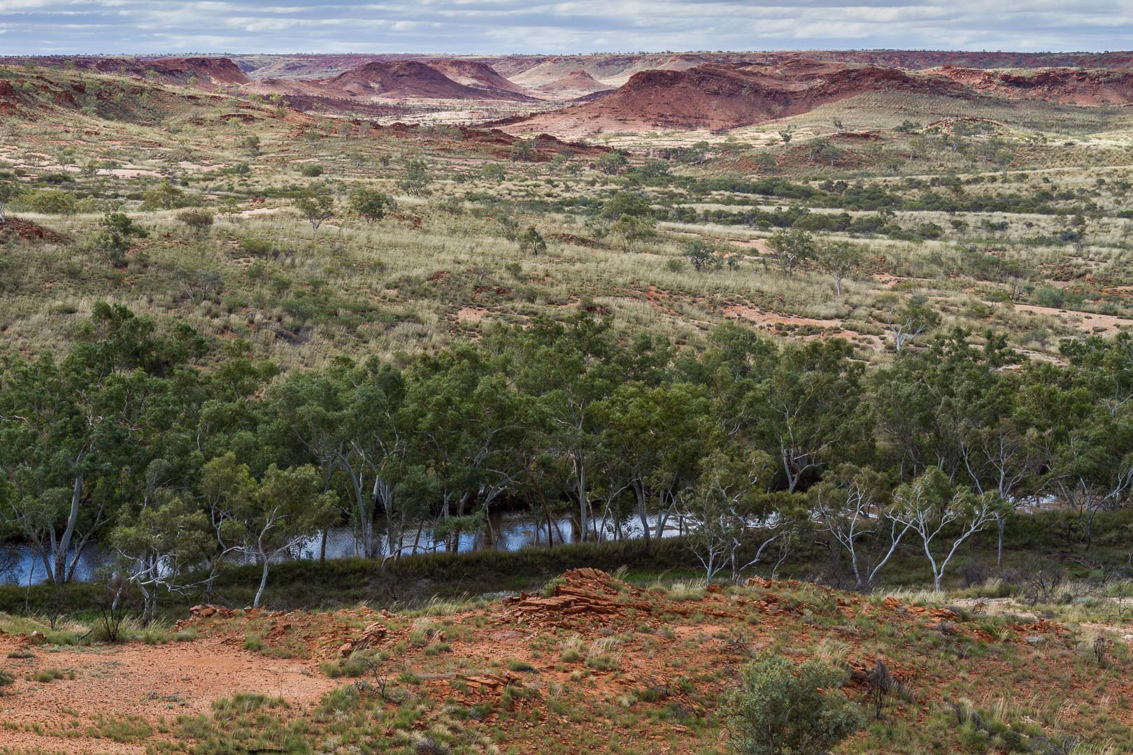
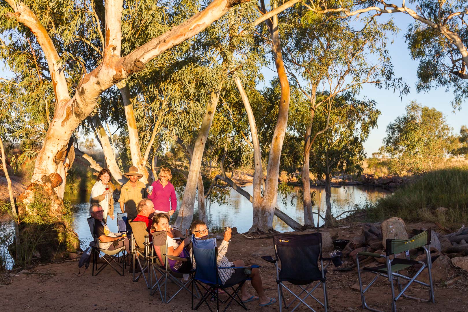
The park is quite rugged, bare of grass and shrubs from recent fires. Numerous ghost gums line the streams and waterholes in the park. We found a lovely spot beside one stream, Tingkulatjatjarra Pool, a long stretch of water below the hills. Large river red gums, white barked, knobbly and gnarled are on the banks.

The climb to the Three Sisters behind our camp provided a fine view of the surrounding hills. We stayed here three nights and chilled out, literally as the pool was freezing.

11 July, 2016

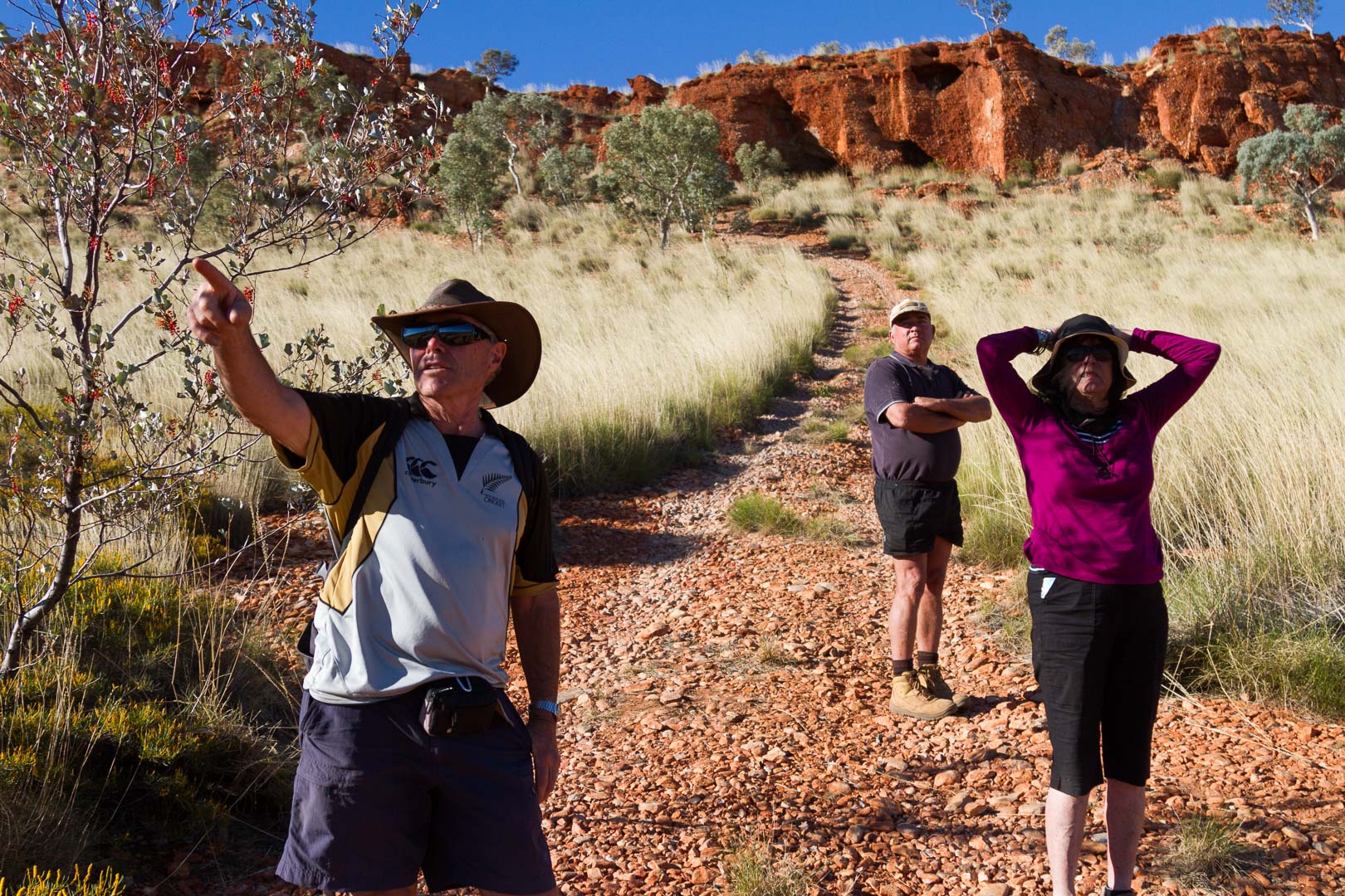
Desert Queen Baths was 18 km or so from the Telfer Road over quite a rough and stony track but the hour drive was well worth it.


A series of rock pools led up the gorge from the campground and the walk along the path and over boulders to the final pool was stunning. 


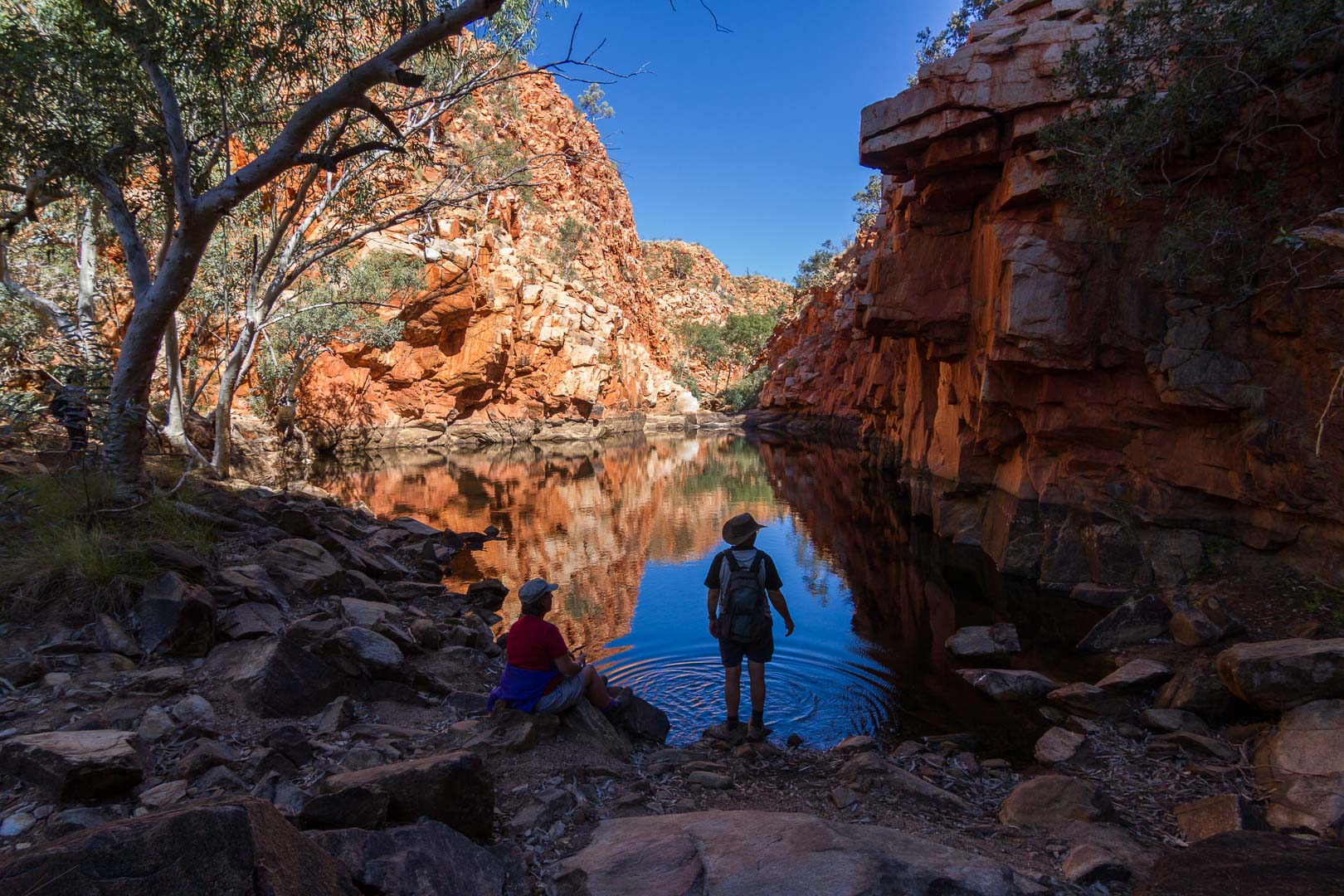
In the afternoon we walked to the nearby hills up a path to a cave on the cliff.

We could really spend a lot more time here.


Leg 5 – Gary Highway, Windy Corner, Talawana Track to Georgia Bore on the Canning Stock Route, WA

5 July, 2016


Gary Highway – Now that’s a name that could be re-defined. Today we travelled just 116 kilometres heading south towards Windy Corner with lots of corrugation and scratchidoorus bushes. The sound of branches along the duco sure sets the nerves on edge.

Crossing the Tropic of Capricorn once more.

The colours out here are stunning. New spinifex, vivid green on the red sand, and older plants sprouted their yellow stalks of red flowers or yellow seed heads. Sage coloured bushes , shrubs with purple blooms and the vivid red flowers of the holly grevillea that looked like large ripe plums from a distance, native papery hop plants.


There was so much to see . Once I walked into the dunes and looked around. Ants were dragging dead beetles into holes, insects were scurrying under spinifex , small animal prints in the sand, the colours of the plants sprouting new amongst their dead relatives.


When we stopped to look at a sign on a drum, Diesel Avenue, a smell led us to four dead camels beside the track, shot, perhaps a part of the cull.


At Wormy Whau Whau Well we drove 16 kilometres down a rough track to the Veevers Meteorite Crater which was only discovered in 1974. It was not as large as the one at Henbury, about 70 metres across. But it was worth the few more scratches on the paintwork.

Veevers Meteorite Crater 22º 58′ 12.18″ S 125º 22′ 20.99″ E


6 July, 2016

We arrived at Windy Corner, 66 kilometres south of our camp at Wormy Whau Whau, and cold and windy it was. We all signed a note and placed it in an Arnotts’ biscuit tin on top of a 44 gallon drum.


West from Windy Corner was the Talawana Track, the least used of any road we travelled on. Spinifex as high as the bonnet grew on the track in parts and branches left track marks in the dust, dirt and probably the paint on the sides of the car.


It was amazing to think that we we were travelling in a place so isolated. For three days on this track we didn’t see another person.


On the Talawana, we stopped at the intersection to Warrie’s camp where the last two aborigines from the Central Desert were taken out in 1977. Apparently they had never seen Europeans. 

7 July, 2016


We were able to get up to 60kph in some sections today and made good time, stopping at a few local landmarks, the wrecked Pajero, the burnt out Land Rover. 


Before the Talawana joined the Canning Stock Route, the track wound through and over red sand dunes with some of the country quite rocky in parts till we came to a string of salt lakes, some with water. There are so many landscapes here.

Sunset at our camp on the Talawana Track

Georgia Bore was our camp for the night. Water for showers and clothes, zebra finches in the puddles, a clear starlight night, a crescent orange moon dipping over the horizon and a warm campfire made this a good spot.

Georgia Bore Camp


Leg 4 – The Gary Junction Road, WA

3 July, 2016

This leg of the trip extended over two days when we drove from Kintore to Kunawarritji.


The first day we travelled 333 kilometres on a good gravel road through the Great Sandy and Gibson Deserts. It was dune country for most of the way, though trees 5-8 metres high grew in some places on their slopes. Of course, the desert oaks grew here also in their favoured places.


Outside Kiwirrkurra Community, we paused at the site where Len Beadell’s ration truck caught fire in 1960 and exploded. When we approached others we sitting on chairs on the side of the road as if waiting for a train.

Julie read from the pages of his book where he described the incident. Len shot a hole in a boiling 44 gallon drum of water so they could have a cup of tea. He was a character!


The truck is now in the community.


In the afternoon the road became dusty and  poor management by me meant the car filled with fine red and white dust.

Camp that night was amongst the desert oaks at Jupiter Well where there was enough water for a good shower and to rinse the dust from our clothes.


4 July, 2016
Before leaving the camp we walked across the road to where the original Jupiter Well was dug in 1961 by the mapping team who saw the planet reflected in the water.

The road for most of the day was parallel to dunes covered with saltbush and low trees. I continued to be surprised by the amount of plant life, holly grevillea, acacia, spinifex and many low flowering shrubs that grew here in the desert.


Kunawarritji Community was a stop for fuel and being in the middle of the desert on the Canning Stock Route, it was a busy place for travellers. Fuel here was the most expensive we encountered on the whole trip. At $3.40/L and with ten pieces of fruit, we handed over $213 at the store.

The camp that night at Well 33 on the Canning Stock Route was busy with other travellers which we found unusual as we hadn’t shared a camp with anyone since Uluru. 

Well 33 Canning Stock Route