21 July 2016
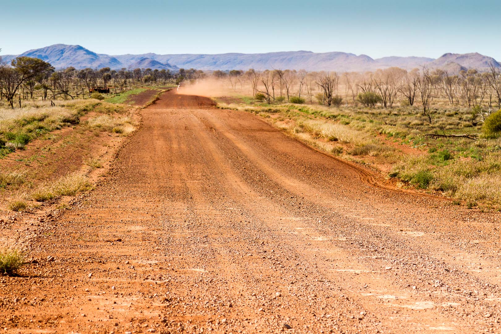
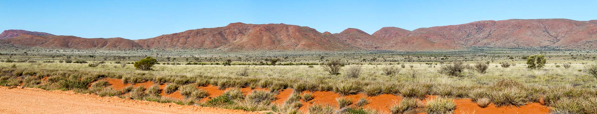
Another scenic drive today along the well maintained Mulga Park Road which meant we could scoot a long distance as camping on this road was not permitted.
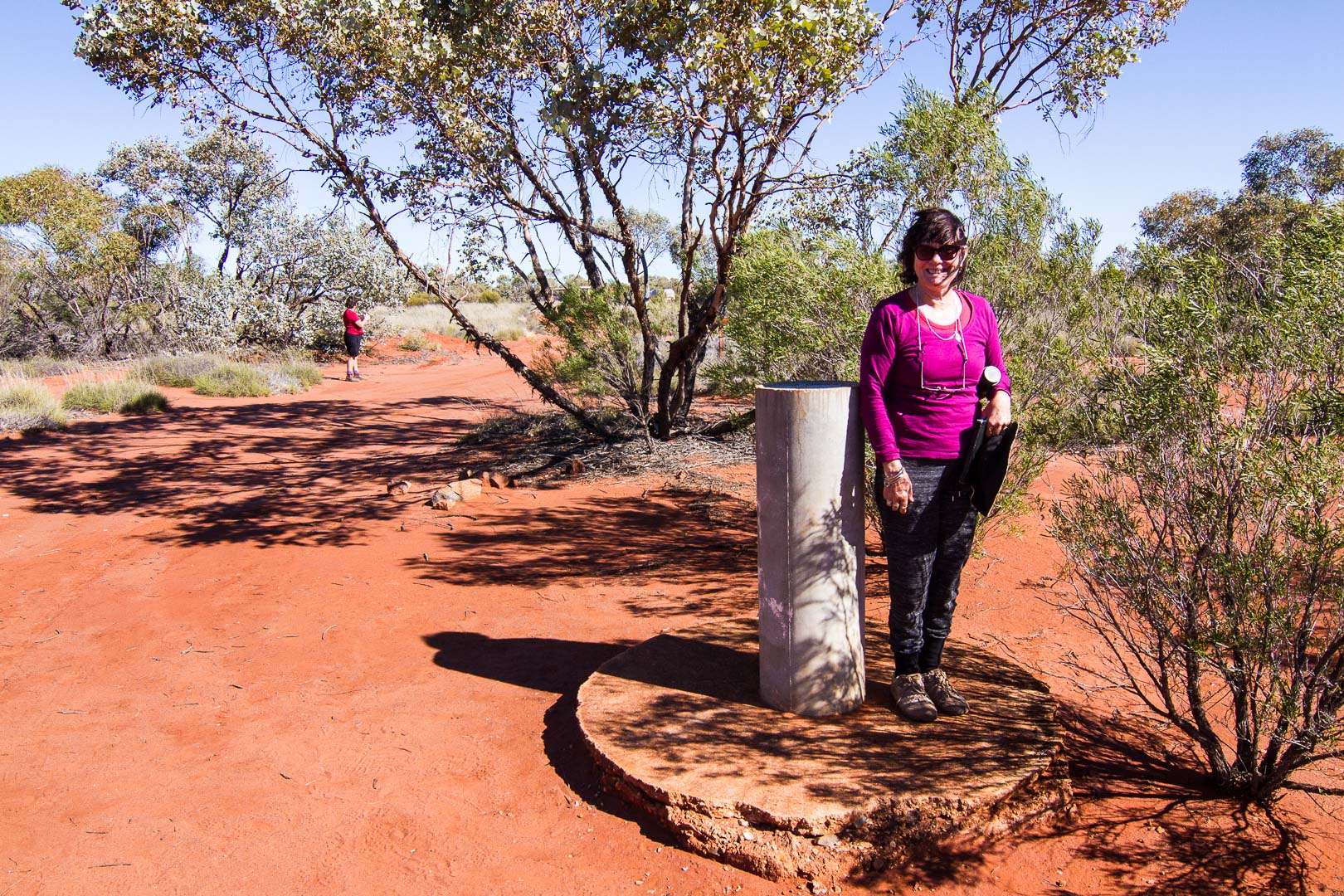
Before long we were at Surveyor’s Corner, the meeting point of the Western Australian, Northern Territory and South Australian borders.
We passed many communities along the road as we ate up the kilometres. Artists had painted signs at the entrances to the towns.


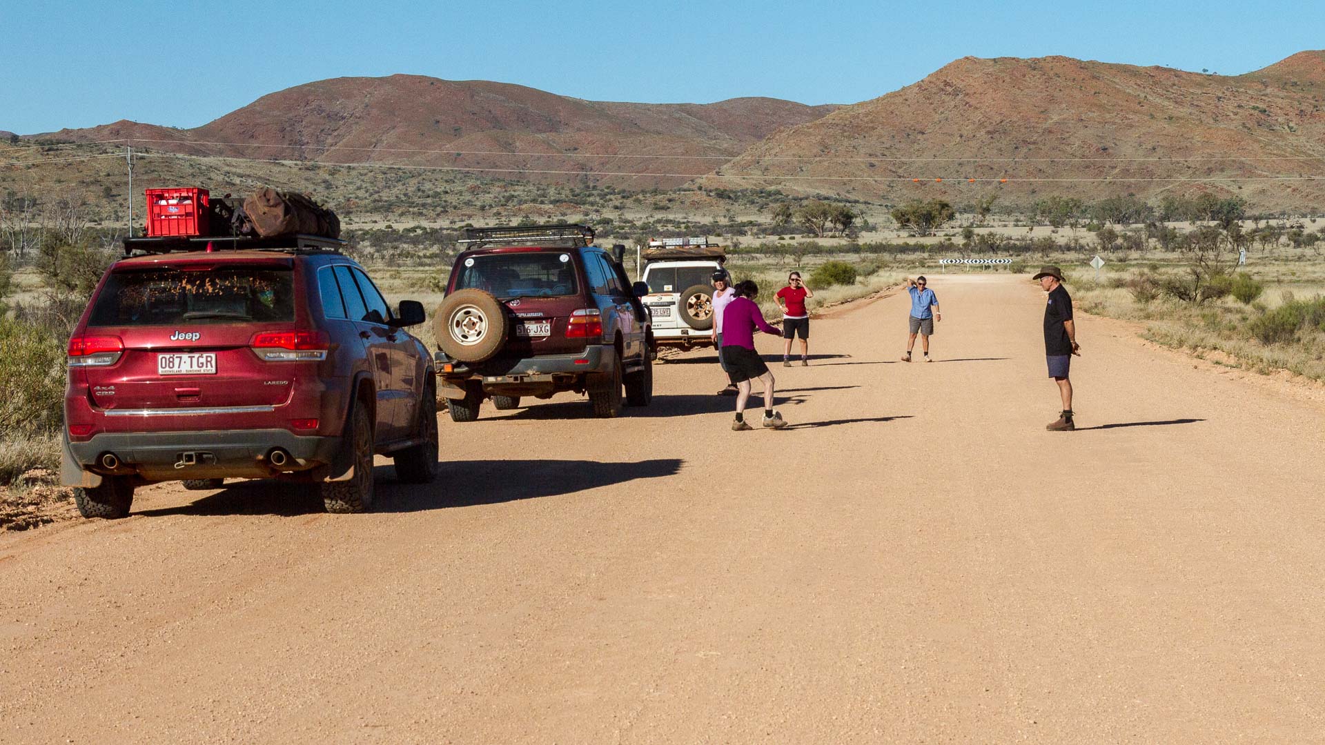
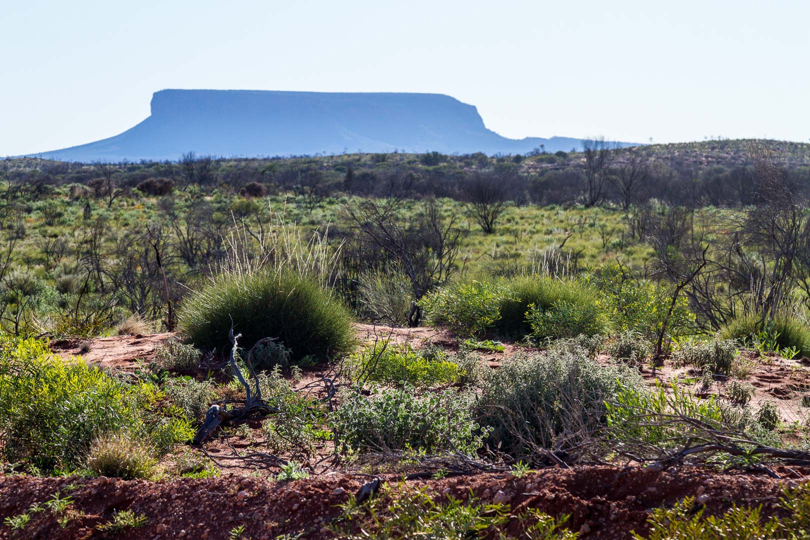
Travelling on the road north to Mt Connor we crossed again into the Northern Territory late in the afternoon and camped a short distance past the grid that marked the border.
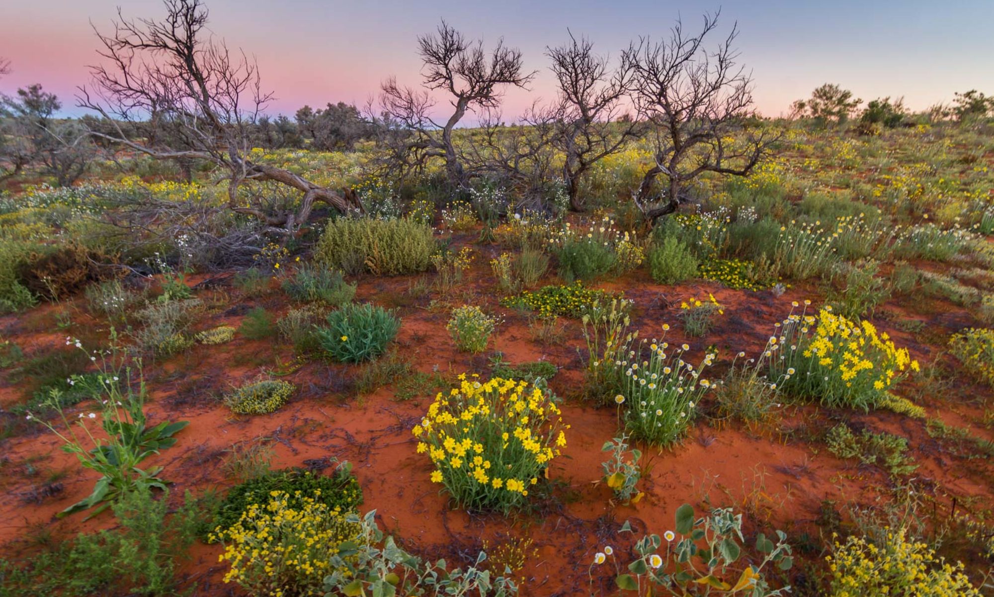
Our camp on SA – NT border.
In the morning we continued up the road to approach Mt Connor from a different direction to that which we had passed on our way to Uluru.